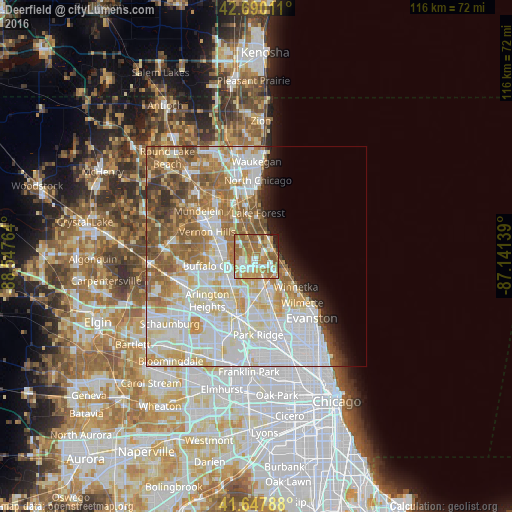
Deerfield night lights from space
Night Light of Deerfield (Illinois) from space (United States) Src. Average luminocity for 10x10km area is 73.6773% and for 50x50km: 54.7149%.
Analysis of Deerfield night lights 2016
Square area 10x10 km:
 13.48%
90-99
13.64%80-89
9.55%70-79
14.7%60-69
29.85%50-59
12.27%40-49
2.27%30-39
0.3%20-29
3.03%10-19
0.91%0-9
0%Square area 50x50 km:
17.59%90-99
13.65%80-89
7.53%70-79
6.24%60-69
8.26%50-59
7.26%40-49
3.49%30-39
1.93%20-29
2.63%10-19
3.28%0-9
28.14%Clear (daylight) street map image can be seen on geolist.org.
Map coordinates:
42° 41' 24.4" North, 88° 32' 51.5" West
42° 10' 16.1" North, 87° 50' 40.2" West
41° 38' 52.4" North, 87° 8' 29" West
Some cities around Deerfield sort by population:
• Wheeling
7.8 km =4.8 mi,  242°
242°
• Northbrook
5 km =3.1 mi,  165°
165°
• Highland Park
3.8 km =2.4 mi,  72°
72°
• Lake Forest
9.7 km =6 mi,  1°
1°
• Glencoe
8.2 km =5.1 mi,  119°
119°
• Lincolnshire
5.7 km =3.5 mi,  291°
291°
• Northfield
9.5 km =5.9 mi,  146°
146°
• Highwood
4.3 km =2.7 mi,  42°
42°
4889668 (p: 19,019)
Sources (retrieved 2019-11-25):
» Earth at Night: Flat Maps 2012, 2016