Libertyville night lights from space
Night Light of Libertyville (Illinois) from space (United States) Src. Average luminocity for 10x10km area is 75.8909% and for 50x50km: 50.6469%.
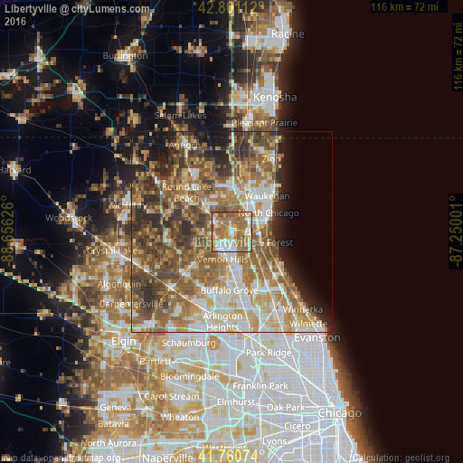
Analysis of Libertyville night lights 2016
Square area 10x10 km:
 14.09%
90-99
16.36%80-89
8.03%70-79
11.52%60-69
35.3%50-59
12.27%40-49
2.42%30-39
0%20-29
0%10-19
0%0-9
0%Square area 50x50 km:
7.62%90-99
8.89%80-89
7.15%70-79
7.74%60-69
11.21%50-59
11.43%40-49
9.56%30-39
6.03%20-29
6.87%10-19
6.3%0-9
17.2%Clear (daylight) street map image can be seen on geolist.org.
Map coordinates:
42° 48' 4" North, 88° 39' 22.5" West
42° 16' 59.1" North, 87° 57' 11.3" West
41° 45' 38.7" North, 87° 15' 0" West
Some cities around Libertyville sort by population:
• Mundelein
4.7 km =2.9 mi,  242°
242°
• North Chicago
10.3 km =6.4 mi,  62°
62°
• Vernon Hills
7.4 km =4.6 mi,  197°
197°
• Grayslake
10 km =6.2 mi,  313°
313°
• Lake Forest
9.6 km =6 mi,  106°
106°
• Gages Lake
8 km =5 mi,  342°
342°
• Park City
9.2 km =5.7 mi,  37°
37°
• Lake Bluff
9.8 km =6.1 mi,  92°
92°
4899739 (p: 20,436)
Sources (retrieved 2019-11-25):
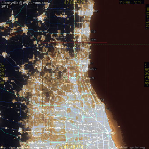
» Earth at Night: Flat Maps 2012, 2016