Lake Bluff night lights from space
Night Light of Lake Bluff (Illinois) from space (United States) Src. Average luminocity for 10x10km area is 45.7106% and for 50x50km: 41.8974%.
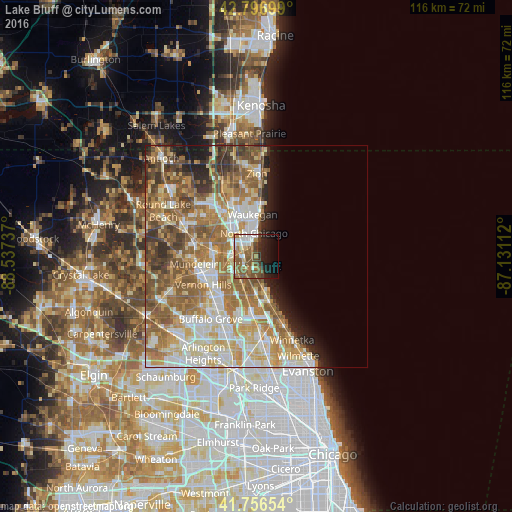
Analysis of Lake Bluff night lights 2016
Square area 10x10 km:
 7.42%
7.42%90-99
6.67%80-89
4.7%70-79
2.88%60-69
10.91%50-59
16.67%40-49
7.73%30-39
2.58%20-29
9.55%10-19
15.61%0-9
15.3%Square area 50x50 km:
7.46%90-99
8.61%80-89
6.2%70-79
6.61%60-69
9.2%50-59
8.73%40-49
5.02%30-39
3.47%20-29
3.89%10-19
4.33%0-9
36.47%Clear (daylight) street map image can be seen on geolist.org.
Map coordinates:
42° 47' 49.2" North, 88° 32' 14.5" West
42° 16' 44.1" North, 87° 50' 3.3" West
41° 45' 23.5" North, 87° 7' 52" West
Some cities around Lake Bluff sort by population:
• Waukegan
9.5 km =5.9 mi,  354°
354°
• Gurnee
11.6 km =7.2 mi,  331°
331°
• Highland Park
11.2 km =7 mi,  165°
165°
• North Chicago
5.2 km =3.2 mi, 353°
• Libertyville
9.8 km =6.1 mi,  272°
272°
• Park City
8.7 km =5.4 mi, 331°
• Lincolnshire
11.6 km =7.2 mi,  211°
211°
• Highwood
9 km =5.6 mi, 166°
4898974 (p: 5,674)
Sources (retrieved 2019-11-25):
» Earth at Night: Flat Maps 2012, 2016