Gurnee night lights from space
Night Light of Gurnee (Illinois) from space (United States) Src. Average luminocity for 10x10km area is 83.8587% and for 50x50km: 38.2425%.

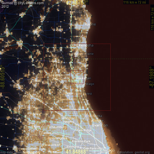
Analysis of Gurnee night lights 2016
Square area 10x10 km:
 24.13%
90-99
25.71%80-89
7.3%70-79
16.35%60-69
18.73%50-59
6.51%40-49
1.11%30-39
0.16%20-29
0%10-19
0%0-9
0%Square area 50x50 km:
5.11%90-99
5.72%80-89
4.31%70-79
5.45%60-69
9.43%50-59
9.94%40-49
8.03%30-39
5.17%20-29
6.07%10-19
7.89%0-9
32.86%Clear (daylight) street map image can be seen on geolist.org.
Map coordinates:
42° 53' 15.4" North, 88° 36' 18.5" West
42° 22' 13.1" North, 87° 54' 7.3" West
41° 50' 55.2" North, 87° 11' 56" West
Some cities around Gurnee sort by population:
• Waukegan
4.8 km =3 mi,  98°
98°
• North Chicago
7.1 km =4.4 mi,  134°
134°
• Zion
10.2 km =6.3 mi,  33°
33°
• Libertyville
10.6 km =6.6 mi,  203°
203°
• Beach Park
6.8 km =4.2 mi, 32°
• Gages Lake
6.9 km =4.3 mi,  252°
252°
• Park City
2.8 km =1.7 mi,  149°
149°
• Grandwood Park
7.4 km =4.6 mi,  290°
290°
4894861 (p: 31,056)
Sources (retrieved 2019-11-25):
» Earth at Night: Flat Maps 2012, 2016