Kearns night lights from space
Night Light of Kearns (Utah) from space (United States) Src. Average luminocity for 10x10km area is 85.8344% and for 50x50km: 36.1012%.
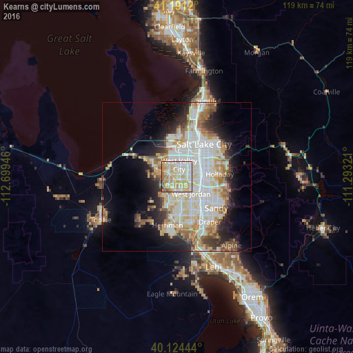
Analysis of Kearns night lights 2016
Square area 10x10 km:
 16.23%
90-99
27.6%80-89
30.36%70-79
14.94%60-69
6.33%50-59
3.08%40-49
0.97%30-39
0.49%20-29
0%10-19
0%0-9
0%Square area 50x50 km:
9.59%90-99
9.35%80-89
5.69%70-79
3.93%60-69
4.1%50-59
3.3%40-49
2.41%30-39
2.75%20-29
5.43%10-19
8.36%0-9
45.1%Clear (daylight) street map image can be seen on geolist.org.
Map coordinates:
41° 11' 28.3" North, 112° 41' 58.1" West
40° 39' 35.8" North, 111° 59' 46.8" West
40° 7' 28" North, 111° 17' 35.6" West
Some cities around Kearns sort by population:
• West Valley City
3.5 km =2.2 mi,  353°
353°
• West Jordan
7.4 km =4.6 mi,  139°
139°
• Millcreek
10.6 km =6.6 mi,  73°
73°
• Taylorsville
4.9 km =3 mi,  79°
79°
• Murray
9.2 km =5.7 mi,  85°
85°
• Midvale
9.8 km =6.1 mi,  123°
123°
• Magna
10.4 km =6.5 mi,  301°
301°
• Oquirrh
4.6 km =2.9 mi,  224°
224°
5776727 (p: 35,731)
Sources (retrieved 2019-11-25):
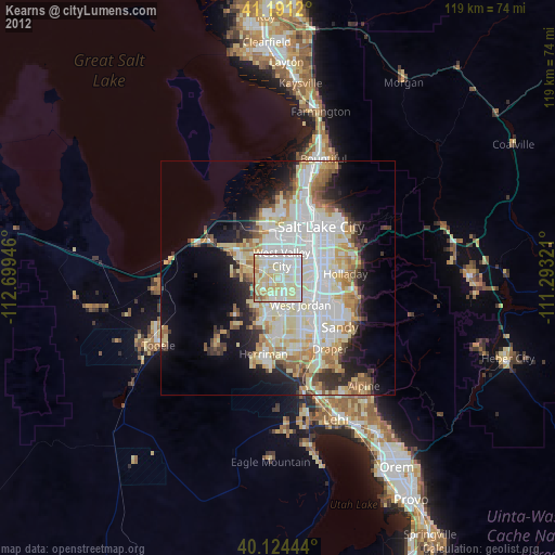
» Earth at Night: Flat Maps 2012, 2016