Magna night lights from space
Night Light of Magna (Utah) from space (United States) Src. Average luminocity for 10x10km area is 38.5179% and for 50x50km: 34.4626%.
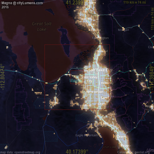
Analysis of Magna night lights 2016
Square area 10x10 km:
 1.62%
1.62%90-99
3.57%80-89
8.12%70-79
8.6%60-69
9.42%50-59
6.01%40-49
4.87%30-39
4.87%20-29
12.01%10-19
21.43%0-9
19.48%Square area 50x50 km:
9.65%90-99
9.42%80-89
5.5%70-79
3.93%60-69
3.85%50-59
2.65%40-49
1.91%30-39
1.98%20-29
4.04%10-19
6.78%0-9
50.29%Clear (daylight) street map image can be seen on geolist.org.
Map coordinates:
41° 14' 23.9" North, 112° 48' 17.1" West
40° 42' 32.8" North, 112° 6' 5.8" West
40° 10' 26.4" North, 111° 23' 54.6" West
Some cities around Magna sort by population:
• Salt Lake City
18.6 km =11.6 mi,  72°
72°
• West Valley City
8.7 km =5.4 mi,  102°
102°
• West Jordan
17.6 km =10.9 mi,  128°
128°
• Taylorsville
14.5 km =9 mi,  108°
108°
• Kearns
10.4 km =6.5 mi,  121°
121°
• South Salt Lake
18 km =11.2 mi,  86°
86°
• Oquirrh
10.4 km =6.5 mi,  146°
146°
• Stansbury park
18.2 km =11.3 mi,  244°
244°
5777793 (p: 26,505)
Sources (retrieved 2019-11-25):
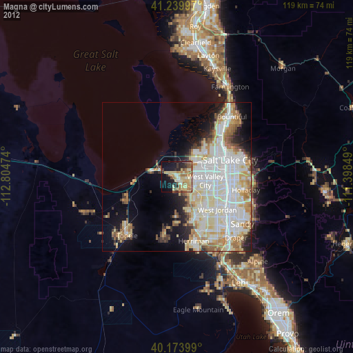
» Earth at Night: Flat Maps 2012, 2016