Midvale night lights from space
Night Light of Midvale (Utah) from space (United States) Src. Average luminocity for 10x10km area is 95.9627% and for 50x50km: 36.6626%.
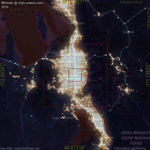
Analysis of Midvale night lights 2016
Square area 10x10 km:
 42.53%
90-99
38.64%80-89
17.69%70-79
1.14%60-69
0%50-59
0%40-49
0%30-39
0%20-29
0%10-19
0%0-9
0%Square area 50x50 km:
9.62%90-99
9.32%80-89
5.65%70-79
4.18%60-69
4.21%50-59
3.84%40-49
2.62%30-39
2.93%20-29
5.53%10-19
8.18%0-9
43.9%Clear (daylight) street map image can be seen on geolist.org.
Map coordinates:
41° 8' 33.7" North, 112° 36' 11.1" West
40° 36' 39.8" North, 111° 53' 59.8" West
40° 4' 30.6" North, 111° 11' 48.6" West
Some cities around Midvale sort by population:
• West Jordan
3.3 km =2.1 mi,  267°
267°
• Sandy Hills
5.3 km =3.3 mi,  128°
128°
• Sandy
2.5 km =1.6 mi,  148°
148°
• South Jordan
6 km =3.7 mi,  204°
204°
• Murray
6.3 km =3.9 mi,  9°
9°
• South Jordan Heights
6.7 km =4.2 mi,  218°
218°
• Little Cottonwood Creek Valley
6 km =3.7 mi,  97°
97°
• White City
5.9 km =3.7 mi, 149°
5778244 (p: 32,613)
Sources (retrieved 2019-11-25):
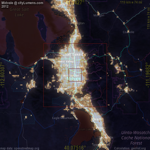
» Earth at Night: Flat Maps 2012, 2016