Taylorsville night lights from space
Night Light of Taylorsville (Utah) from space (United States) Src. Average luminocity for 10x10km area is 95.125% and for 50x50km: 35.3185%.
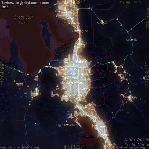
Analysis of Taylorsville night lights 2016
Square area 10x10 km:
 39.77%
90-99
36.69%80-89
19.81%70-79
3.73%60-69
0%50-59
0%40-49
0%30-39
0%20-29
0%10-19
0%0-9
0%Square area 50x50 km:
9.56%90-99
9.34%80-89
5.52%70-79
3.83%60-69
3.94%50-59
3.02%40-49
2.33%30-39
2.73%20-29
5.37%10-19
7.77%0-9
46.58%Clear (daylight) street map image can be seen on geolist.org.
Map coordinates:
41° 11' 56.1" North, 112° 38' 31.1" West
40° 40' 3.8" North, 111° 56' 19.8" West
40° 7' 56.2" North, 111° 14' 8.6" West
Some cities around Taylorsville sort by population:
• West Valley City
5.9 km =3.7 mi,  296°
296°
• West Jordan
6.5 km =4 mi,  180°
180°
• Millcreek
5.8 km =3.6 mi,  68°
68°
• Murray
4.3 km =2.7 mi,  91°
91°
• Kearns
4.9 km =3 mi,  259°
259°
• Midvale
7.1 km =4.4 mi,  152°
152°
• South Salt Lake
7.1 km =4.4 mi,  36°
36°
• Oquirrh
9 km =5.6 mi,  242°
242°
5782476 (p: 60,514)
Sources (retrieved 2019-11-25):
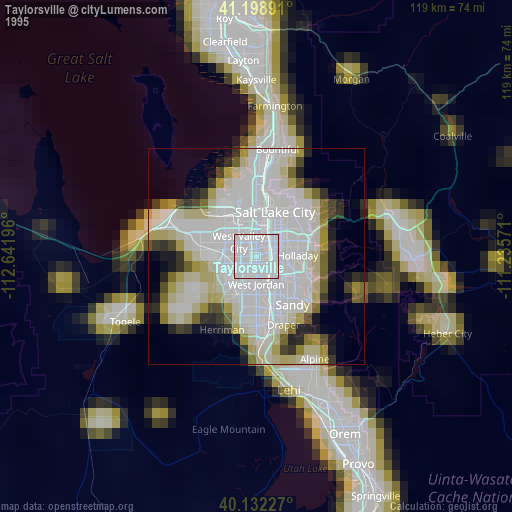
» NASA, Earths city lights 1995
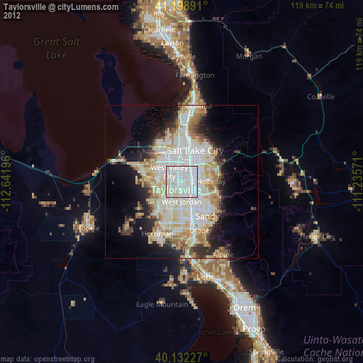
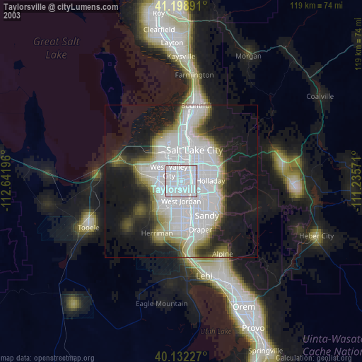
» NASA city lights 2003
» Earth at Night: Flat Maps 2012, 2016