West Jordan night lights from space
Night Light of West Jordan (Utah) from space (United States) Src. Average luminocity for 10x10km area is 94.1039% and for 50x50km: 36.696%.
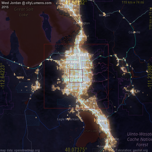
Analysis of West Jordan night lights 2016
Square area 10x10 km:
 33.44%
90-99
38.64%80-89
24.51%70-79
3.41%60-69
0%50-59
0%40-49
0%30-39
0%20-29
0%10-19
0%0-9
0%Square area 50x50 km:
9.63%90-99
9.34%80-89
5.65%70-79
4.15%60-69
4.24%50-59
3.84%40-49
2.6%30-39
2.93%20-29
5.53%10-19
8.18%0-9
43.9%Clear (daylight) street map image can be seen on geolist.org.
Map coordinates:
41° 8' 28.8" North, 112° 38' 32" West
40° 36' 34.8" North, 111° 56' 20.8" West
40° 4' 25.5" North, 111° 14' 9.5" West
Some cities around West Jordan sort by population:
• Sandy
5.1 km =3.2 mi,  113°
113°
• South Jordan
5.3 km =3.3 mi,  171°
171°
• Taylorsville
6.5 km =4 mi,  0°
0°
• Murray
7.7 km =4.8 mi,  34°
34°
• South Jordan Heights
5.2 km =3.2 mi,  189°
189°
• Kearns
7.4 km =4.6 mi,  319°
319°
• Midvale
3.3 km =2.1 mi,  87°
87°
• White City
8 km =5 mi,  127°
127°
5784549 (p: 111,946)
Sources (retrieved 2019-11-25):
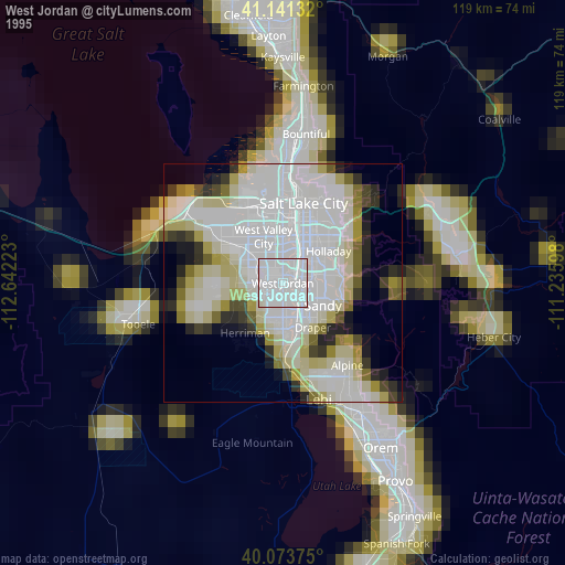
» NASA, Earths city lights 1995
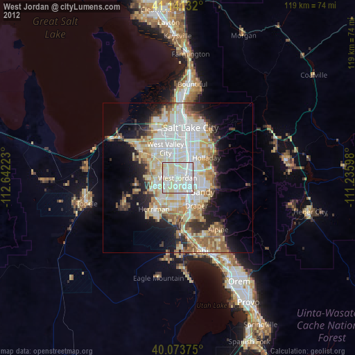
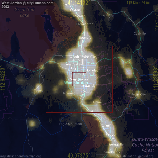
» NASA city lights 2003
» Earth at Night: Flat Maps 2012, 2016