Emporia night lights from space
Night Light of Emporia (Kansas) from space (United States) Src. Average luminocity for 10x10km area is 36.2776% and for 50x50km: 2.038%.
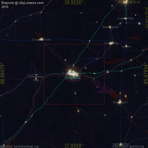
Analysis of Emporia night lights 2016
Square area 10x10 km:
 8.44%
8.44%90-99
6.98%80-89
3.08%70-79
5.84%60-69
4.22%50-59
4.38%40-49
0.81%30-39
2.6%20-29
4.22%10-19
40.75%0-9
18.67%Square area 50x50 km:
0.35%90-99
0.32%80-89
0.15%70-79
0.3%60-69
0.2%50-59
0.31%40-49
0.09%30-39
0.23%20-29
0.25%10-19
2.27%0-9
95.52%Clear (daylight) street map image can be seen on geolist.org.
Map coordinates:
38° 57' 10.1" North, 96° 53' 5.2" West
38° 24' 14" North, 96° 10' 54" West
37° 51' 2.9" North, 95° 28' 42.7" West
Some cities around Emporia sort by population:
• Topeka
83.9 km =52.1 mi,  31°
31°
• Manhattan
93.1 km =57.8 mi,  338°
338°
• Junction City
89.5 km =55.6 mi,  320°
320°
• El Dorado
88.3 km =54.9 mi,  222°
222°
• Ottawa
82.9 km =51.5 mi,  73°
73°
• Chanute
102.6 km =63.8 mi,  141°
141°
• Fort Riley North
95.8 km =59.5 mi,  325°
325°
• Iola
86.7 km =53.9 mi,  127°
127°
4271086 (p: 24,649)
Sources (retrieved 2019-11-25):
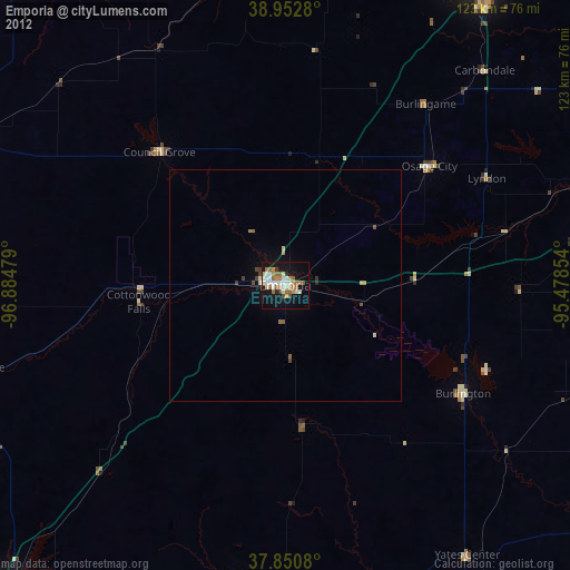
» Earth at Night: Flat Maps 2012, 2016