Hunt Valley night lights from space
Night Light of Hunt Valley (Maryland) from space (United States) Src. Average luminocity for 10x10km area is 48.6769% and for 50x50km: 38.7019%.
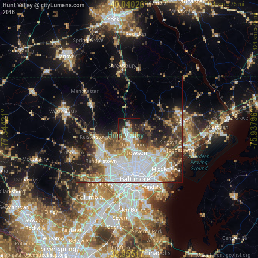
Analysis of Hunt Valley night lights 2016
Square area 10x10 km:
 10.71%
90-99
9.09%80-89
2.6%70-79
8.12%60-69
3.25%50-59
8.6%40-49
9.42%30-39
9.42%20-29
14.94%10-19
19.81%0-9
4.06%Square area 50x50 km:
11.67%90-99
7.22%80-89
3.88%70-79
4.19%60-69
4.61%50-59
4.71%40-49
5.3%30-39
5.63%20-29
6.29%10-19
10.18%0-9
36.33%Clear (daylight) street map image can be seen on geolist.org.
Map coordinates:
40° 2' 24.9" North, 77° 20' 39.2" West
39° 29' 59.4" North, 76° 38' 27.9" West
38° 57' 18.6" North, 75° 56' 16.7" West
Some cities around Hunt Valley sort by population:
• Towson
11.4 km =7.1 mi,  162°
162°
• Cockeysville
2.1 km =1.3 mi,  186°
186°
• Lutherville-Timonium
7.1 km =4.4 mi, 158°
• Mays Chapel
7.4 km =4.6 mi, 185°
• Timonium
7.2 km =4.5 mi,  165°
165°
• Garrison
14.6 km =9.1 mi,  224°
224°
• Lutherville
8.8 km =5.5 mi, 171°
• Hampton
9.8 km =6.1 mi,  150°
150°
4358701 (p: 23,915)
Sources (retrieved 2019-11-25):
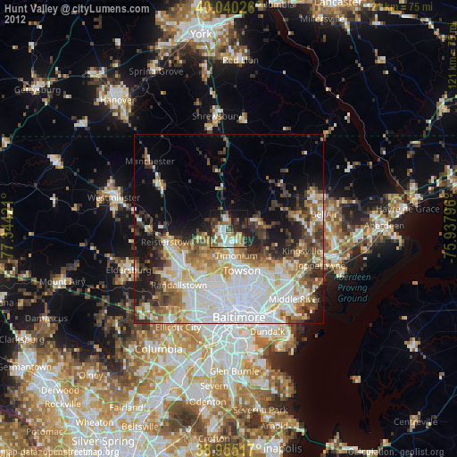
» Earth at Night: Flat Maps 2012, 2016