Towson night lights from space
Night Light of Towson (Maryland) from space (United States) Src. Average luminocity for 10x10km area is 86.9847% and for 50x50km: 53.1772%.
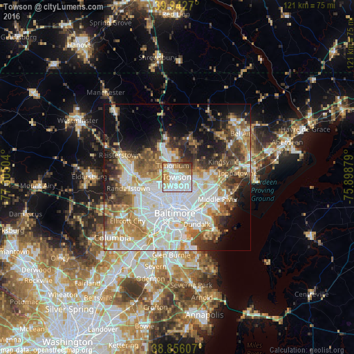

Analysis of Towson night lights 2016
Square area 10x10 km:
 38.27%
90-99
24.32%80-89
7.48%70-79
11.39%60-69
9.18%50-59
3.23%40-49
3.57%30-39
2.55%20-29
0%10-19
0%0-9
0%Square area 50x50 km:
16.75%90-99
11.71%80-89
5.64%70-79
6.57%60-69
6.61%50-59
5.98%40-49
5.64%30-39
5.54%20-29
6.57%10-19
9.1%0-9
19.9%Clear (daylight) street map image can be seen on geolist.org.
Map coordinates:
39° 56' 33.7" North, 77° 18' 18.1" West
39° 24' 5.4" North, 76° 36' 6.9" West
38° 51' 21.9" North, 75° 53' 55.6" West
Some cities around Towson sort by population:
• Parkville
6 km =3.7 mi,  116°
116°
• Carney
6.8 km =4.2 mi,  96°
96°
• Lutherville-Timonium
4.3 km =2.7 mi,  349°
349°
• Overlea
8.2 km =5.1 mi, 121°
• Mays Chapel
5.4 km =3.4 mi,  310°
310°
• Timonium
4.2 km =2.6 mi,  338°
338°
• Lutherville
3 km =1.9 mi,  316°
316°
• Hampton
2.8 km =1.7 mi,  31°
31°
4371582 (p: 55,197)
Sources (retrieved 2019-11-25):
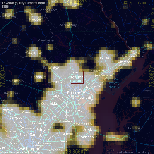
» NASA, Earths city lights 1995
» NASA city lights 2003
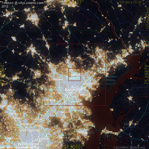
» Earth at Night: Flat Maps 2012, 2016