Cockeysville night lights from space
Night Light of Cockeysville (Maryland) from space (United States) Src. Average luminocity for 10x10km area is 60.8864% and for 50x50km: 41.829%.
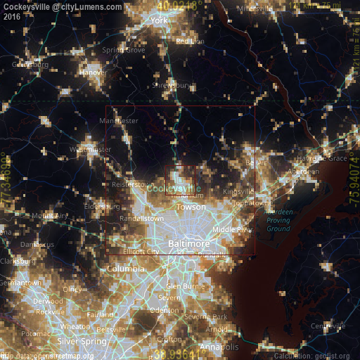
Analysis of Cockeysville night lights 2016
Square area 10x10 km:
 13.47%
90-99
11.04%80-89
3.25%70-79
13.47%60-69
9.58%50-59
11.36%40-49
9.42%30-39
8.6%20-29
14.77%10-19
5.03%0-9
0%Square area 50x50 km:
13.13%90-99
8.02%80-89
4.04%70-79
4.43%60-69
5.03%50-59
4.97%40-49
5.36%30-39
5.96%20-29
6.53%10-19
10.17%0-9
32.35%Clear (daylight) street map image can be seen on geolist.org.
Map coordinates:
40° 1' 18.5" North, 77° 20' 49.2" West
39° 28' 52.4" North, 76° 38' 37.9" West
38° 56' 11.1" North, 75° 56' 26.7" West
Some cities around Cockeysville sort by population:
• Towson
9.6 km =6 mi,  157°
157°
• Hunt Valley
2.1 km =1.3 mi,  6°
6°
• Lutherville-Timonium
5.4 km =3.4 mi,  148°
148°
• Mays Chapel
5.4 km =3.4 mi,  185°
185°
• Timonium
5.3 km =3.3 mi, 157°
• Garrison
13.1 km =8.1 mi,  230°
230°
• Lutherville
6.8 km =4.2 mi,  167°
167°
• Hampton
8.2 km =5.1 mi,  141°
141°
4351887 (p: 20,776)
Sources (retrieved 2019-11-25):
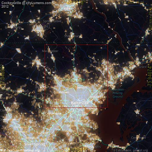
» Earth at Night: Flat Maps 2012, 2016