Glencoe night lights from space
Night Light of Glencoe (Illinois) from space (United States) Src. Average luminocity for 10x10km area is 52.9818% and for 50x50km: 48.6254%.
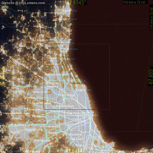
Analysis of Glencoe night lights 2016
Square area 10x10 km:
 8.48%
8.48%90-99
7.42%80-89
6.21%70-79
11.97%60-69
14.09%50-59
12.58%40-49
2.88%30-39
2.88%20-29
11.36%10-19
12.27%0-9
9.85%Square area 50x50 km:
19.79%90-99
12.15%80-89
5.91%70-79
4.52%60-69
5.87%50-59
4.5%40-49
1.92%30-39
1.08%20-29
2.19%10-19
3.2%0-9
38.87%Clear (daylight) street map image can be seen on geolist.org.
Map coordinates:
42° 39' 15.5" North, 88° 27' 40.5" West
42° 8' 6.1" North, 87° 45' 29.2" West
41° 36' 41.3" North, 87° 3' 18" West
Some cities around Glencoe sort by population:
• Glenview
7.7 km =4.8 mi,  198°
198°
• Northbrook
5.9 km =3.7 mi,  261°
261°
• Highland Park
6.2 km =3.9 mi,  326°
326°
• Wilmette
7.6 km =4.7 mi,  157°
157°
• Deerfield
8.2 km =5.1 mi,  299°
299°
• Winnetka
3.5 km =2.2 mi,  148°
148°
• Northfield
4.3 km =2.7 mi,  205°
205°
• Highwood
8.3 km =5.2 mi, 329°
4894078 (p: 8,945)
Sources (retrieved 2019-11-25):
» Earth at Night: Flat Maps 2012, 2016