Northfield night lights from space
Night Light of Northfield (Illinois) from space (United States) Src. Average luminocity for 10x10km area is 78.0167% and for 50x50km: 54.56%.
Analysis of Northfield night lights 2016
Square area 10x10 km:
 15.76%
90-99
16.97%80-89
18.79%70-79
23.48%60-69
11.82%50-59
5.61%40-49
0.61%30-39
1.67%20-29
3.79%10-19
1.52%0-9
0%Square area 50x50 km:
23.51%90-99
13.69%80-89
6.49%70-79
4.74%60-69
5.65%50-59
4.65%40-49
2.04%30-39
1.33%20-29
2.22%10-19
3.15%0-9
32.54%Clear (daylight) street map image can be seen on geolist.org.
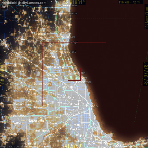
Map coordinates:
42° 37' 9.5" North, 88° 29' 2.5" West
42° 5' 59.1" North, 87° 46' 51.2" West
41° 34' 33.2" North, 87° 4' 40" West
Some cities around Northfield sort by population:
• Skokie
8.4 km =5.2 mi,  152°
152°
• Glenview
3.4 km =2.1 mi,  189°
189°
• Niles
9.2 km =5.7 mi, 191°
• Highland Park
9.3 km =5.8 mi,  350°
350°
• Wilmette
5.7 km =3.5 mi,  122°
122°
• Morton Grove
6.6 km =4.1 mi,  181°
181°
• Winnetka
3.8 km =2.4 mi,  75°
75°
• Glencoe
4.3 km =2.7 mi,  25°
25°
4904094 (p: 5,484)
Sources (retrieved 2019-11-25):
» Earth at Night: Flat Maps 2012, 2016