Great Bend night lights from space
Night Light of Great Bend (Kansas) from space (United States) Src. Average luminocity for 10x10km area is 29.0187% and for 50x50km: 1.9678%.
Analysis of Great Bend night lights 2016
Square area 10x10 km:
 4.93%
4.93%90-99
6.29%80-89
1.7%70-79
3.23%60-69
3.06%50-59
4.76%40-49
2.89%30-39
3.91%20-29
2.89%10-19
33.5%0-9
32.82%Square area 50x50 km:
0.22%90-99
0.29%80-89
0.29%70-79
0.24%60-69
0.26%50-59
0.29%40-49
0.13%30-39
0.27%20-29
0.18%10-19
1.6%0-9
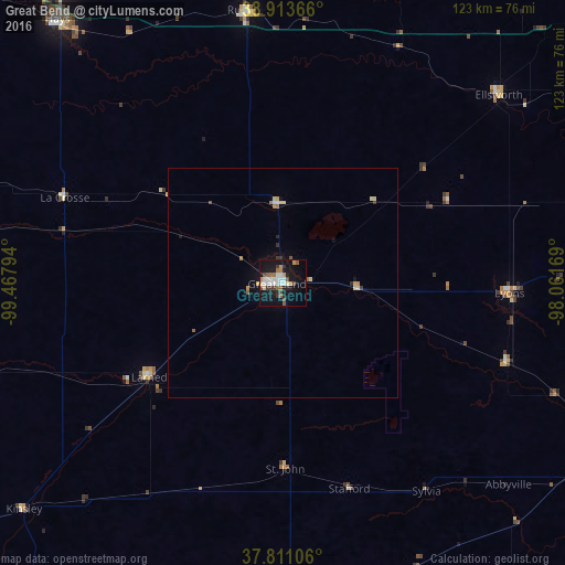
96.23%Clear (daylight) street map image can be seen on geolist.org.
Map coordinates:
38° 54' 49.2" North, 99° 28' 4.6" West
38° 21' 52.1" North, 98° 45' 53.3" West
37° 48' 39.8" North, 98° 3' 42.1" West
Some cities around Great Bend sort by population:
• Salina
113.3 km =70.4 mi,  62°
62°
• Hutchinson
80.4 km =50 mi,  114°
114°
• Dodge City
129 km =80.2 mi,  238°
238°
• Hays
75.2 km =46.7 mi,  319°
319°
• Newton
129 km =80.2 mi, 105°
• McPherson
95.9 km =59.6 mi,  89°
89°
• Valley Center
135.2 km =84 mi,  115°
115°
• Pratt
80.2 km =49.8 mi,  178°
178°
4272340 (p: 15,717)
Sources (retrieved 2019-11-25):
» Earth at Night: Flat Maps 2012, 2016