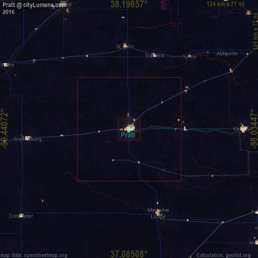
Pratt night lights from space
Night Light of Pratt (Kansas) from space (United States) Src. Average luminocity for 10x10km area is 15.6105% and for 50x50km: 0.806%.
Analysis of Pratt night lights 2016
Square area 10x10 km:
 1.87%
1.87%90-99
2.21%80-89
4.08%70-79
1.36%60-69
1.87%50-59
1.36%40-49
1.53%30-39
1.36%20-29
0.68%10-19
4.25%0-9
79.42%Square area 50x50 km:
0.08%90-99
0.09%80-89
0.16%70-79
0.11%60-69
0.1%50-59
0.08%40-49
0.14%30-39
0.1%20-29
0.03%10-19
0.2%0-9
98.92%Clear (daylight) street map image can be seen on geolist.org.
Map coordinates:
38° 11' 54.9" North, 99° 26' 26.6" West
37° 38' 38.1" North, 98° 44' 15.3" West
37° 5' 6.3" North, 98° 2' 4.1" West
Some cities around Pratt sort by population:
• Wichita
123.3 km =76.6 mi,  87°
87°
• Hutchinson
84.7 km =52.6 mi,  56°
56°
• Dodge City
113.2 km =70.3 mi,  276°
276°
• Great Bend
80.2 km =49.8 mi,  358°
358°
• McPherson
124 km =77.1 mi,  49°
49°
• Haysville
122.4 km =76.1 mi, 94°
• Valley Center
121.8 km =75.7 mi,  79°
79°
• Alva
93.5 km =58.1 mi,  176°
176°
4277752 (p: 6,849)
Sources (retrieved 2019-11-25):
» Earth at Night: Flat Maps 2012, 2016