Dodge City night lights from space
Night Light of Dodge City (Kansas) from space (United States) Src. Average luminocity for 10x10km area is 44.335% and for 50x50km: 2.5565%.
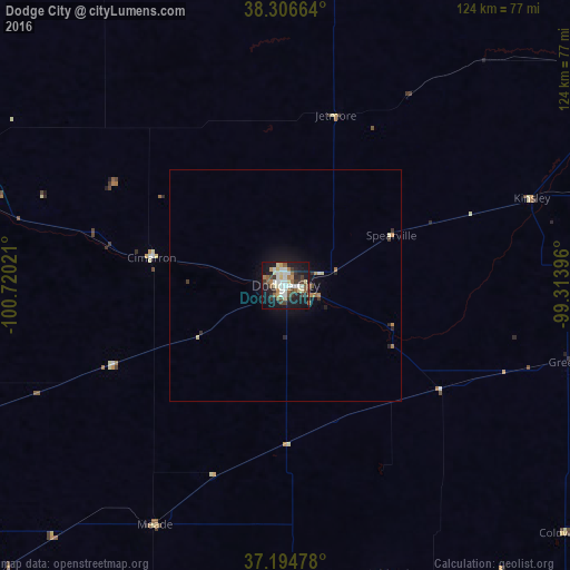
Analysis of Dodge City night lights 2016
Square area 10x10 km:
 8.67%
8.67%90-99
7.48%80-89
7.82%70-79
2.72%60-69
4.59%50-59
7.48%40-49
5.78%30-39
7.65%20-29
9.35%10-19
32.65%0-9
5.78%Square area 50x50 km:
0.36%90-99
0.32%80-89
0.4%70-79
0.19%60-69
0.32%50-59
0.33%40-49
0.28%30-39
0.45%20-29
0.56%10-19
2.37%0-9
94.41%Clear (daylight) street map image can be seen on geolist.org.
Map coordinates:
38° 18' 23.9" North, 100° 43' 12.8" West
37° 45' 10.1" North, 100° 1' 1.5" West
37° 11' 41.2" North, 99° 18' 50.3" West
Some cities around Dodge City sort by population:
• Garden City
78.9 km =49 mi,  287°
287°
• Hays
139 km =86.4 mi,  25°
25°
• Liberal
112.3 km =69.8 mi,  225°
225°
• Great Bend
129 km =80.2 mi,  58°
58°
• Woodward
156.9 km =97.5 mi,  159°
159°
• Pratt
113.2 km =70.3 mi,  96°
96°
• Ulysses
119.3 km =74.1 mi,  260°
260°
• Alva
159.3 km =99 mi,  131°
131°
5445298 (p: 27,912)
Sources (retrieved 2019-11-25):
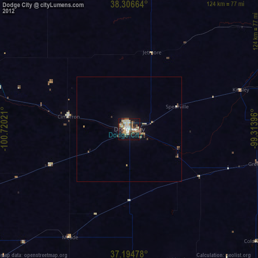
» Earth at Night: Flat Maps 2012, 2016