Glendora night lights from space
Night Light of Glendora (California) from space (United States) Src. Average luminocity for 10x10km area is 70.1722% and for 50x50km: 49.642%.
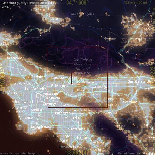
Analysis of Glendora night lights 2016
Square area 10x10 km:
 21.43%
90-99
19.05%80-89
4.03%70-79
10.44%60-69
9.52%50-59
8.42%40-49
7.88%30-39
3.85%20-29
9.89%10-19
5.49%0-9
0%Square area 50x50 km:
15.27%90-99
14.99%80-89
5.27%70-79
7.51%60-69
6.88%50-59
4.01%40-49
2.86%30-39
1.62%20-29
2%10-19
4%0-9
35.59%Clear (daylight) street map image can be seen on geolist.org.
Map coordinates:
34° 42' 57.9" North, 118° 34' 6.5" West
34° 8' 10" North, 117° 51' 55.2" West
33° 33' 7.7" North, 117° 9' 44" West
Some cities around Glendora sort by population:
• West Covina
10.1 km =6.3 mi,  222°
222°
• Azusa
3.9 km =2.4 mi,  265°
265°
• Covina
5.6 km =3.5 mi,  204°
204°
• San Dimas
6.3 km =3.9 mi,  121°
121°
• La Verne
9.8 km =6.1 mi,  113°
113°
• Vincent
6.8 km =4.2 mi,  232°
232°
• Citrus
3.4 km =2.1 mi, 225°
• Charter Oak
4.1 km =2.5 mi,  154°
154°
5352439 (p: 52,009)
Sources (retrieved 2019-11-25):
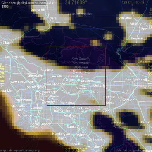
» NASA, Earths city lights 1995
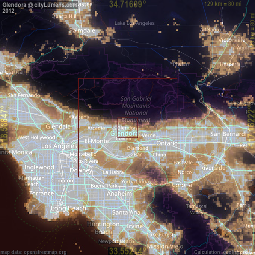
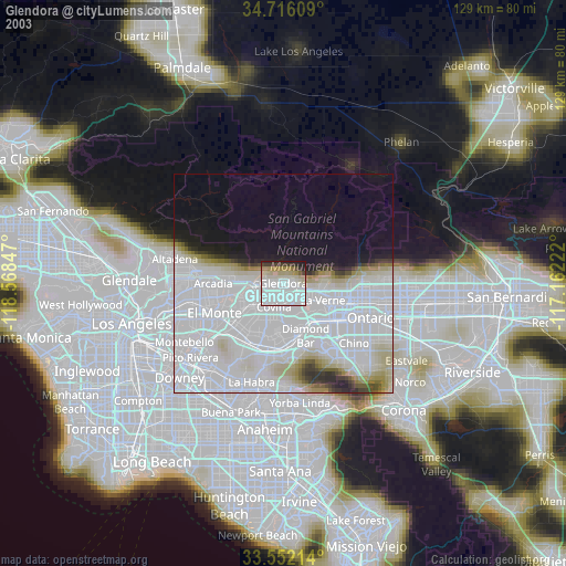
» NASA city lights 2003
» Earth at Night: Flat Maps 2012, 2016