Charter Oak night lights from space
Night Light of Charter Oak (California) from space (United States) Src. Average luminocity for 10x10km area is 84.1795% and for 50x50km: 55.0629%.
Analysis of Charter Oak night lights 2016
Square area 10x10 km:
 22.34%
90-99
24.91%80-89
8.24%70-79
25.64%60-69
13.74%50-59
3.11%40-49
2.01%30-39
0%20-29
0%10-19
0%0-9
0%Square area 50x50 km:
17.05%90-99
15.69%80-89
6.13%70-79
8.68%60-69
7.94%50-59
4.38%40-49
3.62%30-39
2.06%20-29
1.98%10-19
3.95%0-9
28.53%Clear (daylight) street map image can be seen on geolist.org.
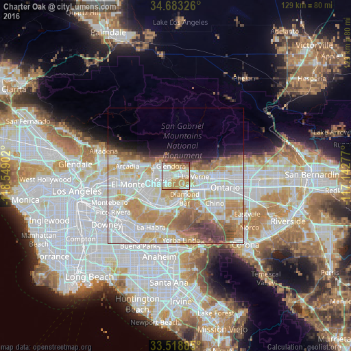
Map coordinates:
34° 40' 59.7" North, 118° 32' 56.5" West
34° 6' 11" North, 117° 50' 45.2" West
33° 31' 7.9" North, 117° 8' 34" West
Some cities around Charter Oak sort by population:
• Diamond Bar
8.9 km =5.5 mi,  158°
158°
• Glendora
4.1 km =2.5 mi,  334°
334°
• Azusa
6.6 km =4.1 mi,  300°
300°
• Covina
4.3 km =2.7 mi,  250°
250°
• San Dimas
3.6 km =2.2 mi,  83°
83°
• La Verne
7.2 km =4.5 mi,  91°
91°
• Vincent
7.2 km =4.5 mi,  265°
265°
• Citrus
4.4 km =2.7 mi,  287°
287°
5336017 (p: 9,310)
Sources (retrieved 2019-11-25):
» Earth at Night: Flat Maps 2012, 2016