West Covina night lights from space
Night Light of West Covina (California) from space (United States) Src. Average luminocity for 10x10km area is 95.9965% and for 50x50km: 65.3194%.
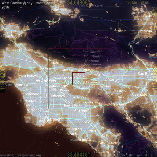
Analysis of West Covina night lights 2016
Square area 10x10 km:
 41.43%
90-99
43.01%80-89
11.19%70-79
4.2%60-69
0.17%50-59
0%40-49
0%30-39
0%20-29
0%10-19
0%0-9
0%Square area 50x50 km:
25.56%90-99
18.43%80-89
6.5%70-79
8.25%60-69
6.88%50-59
3.89%40-49
3.48%30-39
2.29%20-29
1.98%10-19
3.97%0-9
18.76%Clear (daylight) street map image can be seen on geolist.org.
Map coordinates:
34° 38' 56.6" North, 118° 38' 31.5" West
34° 4' 7" North, 117° 56' 20.2" West
33° 29' 3" North, 117° 14' 9" West
Some cities around West Covina sort by population:
• Baldwin Park
2.7 km =1.7 mi,  312°
312°
• Covina
5.1 km =3.2 mi,  62°
62°
• La Puente
5.5 km =3.4 mi,  190°
190°
• Valinda
2.6 km =1.6 mi, 189°
• South San Jose Hills
7 km =4.3 mi,  153°
153°
• Vincent
3.6 km =2.2 mi,  22°
22°
• Avocado Heights
6 km =3.7 mi,  233°
233°
• Citrus
6.7 km =4.2 mi,  40°
40°
5407933 (p: 108,484)
Sources (retrieved 2019-11-25):
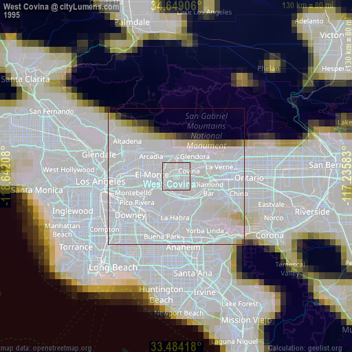
» NASA, Earths city lights 1995
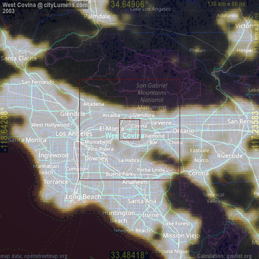
» NASA city lights 2003
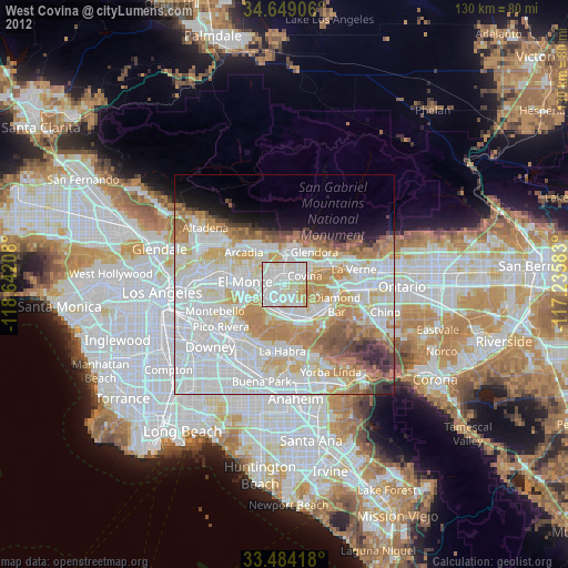
» Earth at Night: Flat Maps 2012, 2016