Covina night lights from space
Night Light of Covina (California) from space (United States) Src. Average luminocity for 10x10km area is 90.5385% and for 50x50km: 59.064%.
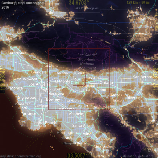
Analysis of Covina night lights 2016
Square area 10x10 km:
 29.37%
90-99
33.57%80-89
12.76%70-79
18.88%60-69
5.42%50-59
0%40-49
0%30-39
0%20-29
0%10-19
0%0-9
0%Square area 50x50 km:
20.14%90-99
17.11%80-89
6.28%70-79
8.45%60-69
7.21%50-59
4.28%40-49
3.8%30-39
2.1%20-29
1.97%10-19
3.92%0-9
24.74%Clear (daylight) street map image can be seen on geolist.org.
Map coordinates:
34° 40' 13.1" North, 118° 35' 36.5" West
34° 5' 24" North, 117° 53' 25.2" West
33° 30' 20.6" North, 117° 11' 14" West
Some cities around Covina sort by population:
• West Covina
5.1 km =3.2 mi,  242°
242°
• Baldwin Park
6.5 km =4 mi,  265°
265°
• Glendora
5.6 km =3.5 mi,  24°
24°
• Azusa
5.1 km =3.2 mi,  341°
341°
• Valinda
7 km =4.3 mi,  224°
224°
• Vincent
3.2 km =2 mi,  286°
286°
• Citrus
2.8 km =1.7 mi,  357°
357°
• Charter Oak
4.3 km =2.7 mi,  70°
70°
5340175 (p: 48,984)
Sources (retrieved 2019-11-25):
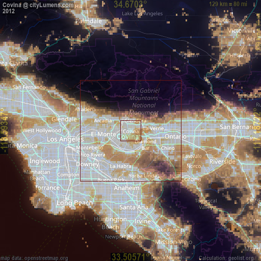
» Earth at Night: Flat Maps 2012, 2016