Casper night lights from space
Night Light of Casper (Wyoming) from space (United States) Src. Average luminocity for 10x10km area is 56.1063% and for 50x50km: 4.6918%.
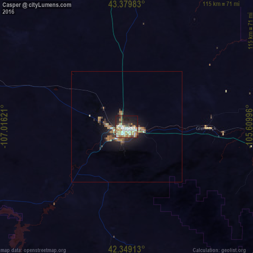
Analysis of Casper night lights 2016
Square area 10x10 km:
 10.95%
90-99
10.63%80-89
12.7%70-79
7.78%60-69
8.1%50-59
4.13%40-49
5.56%30-39
5.71%20-29
14.76%10-19
16.98%0-9
2.7%Square area 50x50 km:
0.5%90-99
0.54%80-89
0.74%70-79
0.61%60-69
0.8%50-59
0.78%40-49
0.47%30-39
0.75%20-29
1.5%10-19
3.38%0-9
89.96%Clear (daylight) street map image can be seen on geolist.org.
Map coordinates:
43° 22' 47.4" North, 107° 0' 58.4" West
42° 51' 59.9" North, 106° 18' 47.1" West
42° 20' 56.9" North, 105° 36' 35.9" West
Some cities around Casper sort by population:
• Gillette
171.3 km =106.4 mi,  22°
22°
• Laramie
182.9 km =113.6 mi,  160°
160°
• Riverton
169.2 km =105.1 mi,  275°
275°
• Rawlins
141.7 km =88 mi,  212°
212°
• Lander
197.1 km =122.5 mi,  268°
268°
• Torrington
196.2 km =121.9 mi,  117°
117°
• Douglas
76.9 km =47.8 mi,  98°
98°
• Worland
184.2 km =114.5 mi,  313°
313°
5820705 (p: 60,285)
Sources (retrieved 2019-11-25):
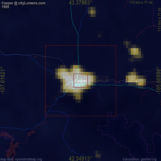
» NASA, Earths city lights 1995
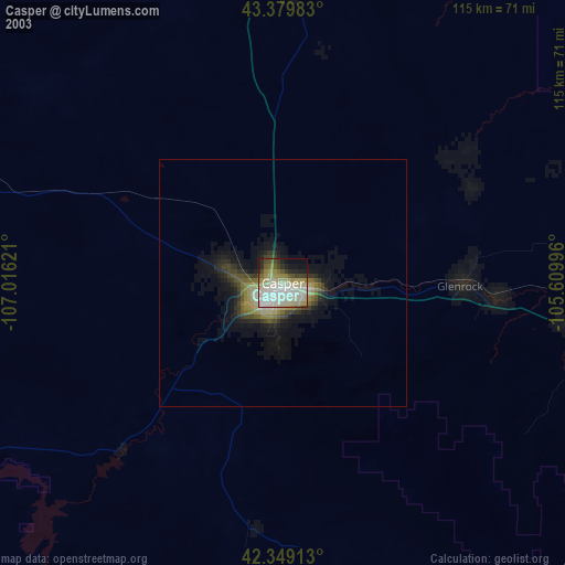
» NASA city lights 2003
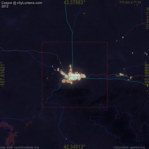
» Earth at Night: Flat Maps 2012, 2016