Sheridan night lights from space
Night Light of Sheridan (Wyoming) from space (United States) Src. Average luminocity for 10x10km area is 32.5825% and for 50x50km: 1.6157%.
Analysis of Sheridan night lights 2016
Square area 10x10 km:
 5.08%
5.08%90-99
4.6%80-89
3.17%70-79
5.24%60-69
5.24%50-59
5.87%40-49
4.6%30-39
1.75%20-29
4.6%10-19
32.38%0-9
27.46%Square area 50x50 km:
0.2%90-99
0.19%80-89
0.16%70-79
0.28%60-69
0.23%50-59
0.25%40-49
0.18%30-39
0.09%20-29
0.32%10-19
1.62%0-9
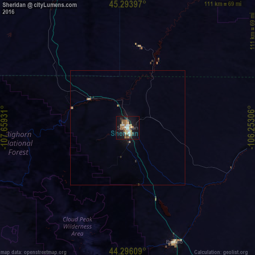
96.49%Clear (daylight) street map image can be seen on geolist.org.
Map coordinates:
45° 17' 38.3" North, 107° 39' 33.5" West
44° 47' 49.9" North, 106° 57' 22.2" West
44° 17' 45.9" North, 106° 15' 11" West
Some cities around Sheridan sort by population:
• Billings
163.1 km =101.3 mi,  312°
312°
• Gillette
128.2 km =79.7 mi,  116°
116°
• Cody
168.8 km =104.9 mi,  259°
259°
• Miles City
199.1 km =123.7 mi,  25°
25°
• Laurel
172.1 km =106.9 mi,  304°
304°
• Lockwood
161 km =100 mi, 314°
• Powell
142.2 km =88.4 mi,  268°
268°
• Worland
117.6 km =73.1 mi,  222°
222°
5838198 (p: 17,873)
Sources (retrieved 2019-11-25):
» Earth at Night: Flat Maps 2012, 2016