East Chicago night lights from space
Night Light of East Chicago (Indiana) from space (United States) Src. Average luminocity for 10x10km area is 90.5276% and for 50x50km: 57.4904%.
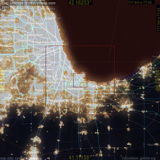
Analysis of East Chicago night lights 2016
Square area 10x10 km:
 46.1%
46.1%90-99
26.3%80-89
7.95%70-79
7.95%60-69
5.19%50-59
2.6%40-49
1.46%30-39
1.14%20-29
1.3%10-19
0%0-9
0%Square area 50x50 km:
24.63%90-99
12.2%80-89
5.7%70-79
6.23%60-69
6.47%50-59
4.75%40-49
3.41%30-39
3.44%20-29
4.46%10-19
5.06%0-9
23.65%Clear (daylight) street map image can be seen on geolist.org.
Map coordinates:
42° 9' 45.1" North, 88° 9' 28.4" West
41° 38' 21.1" North, 87° 27' 17.1" West
41° 6' 41.7" North, 86° 45' 5.9" West
Some cities around East Chicago sort by population:
• Hammond
7.3 km =4.5 mi,  211°
211°
• Gary
10.3 km =6.4 mi,  119°
119°
• Calumet City
6.7 km =4.2 mi,  247°
247°
• Lansing
10.8 km =6.7 mi,  220°
220°
• Dolton
12.7 km =7.9 mi,  269°
269°
• Munster
9.6 km =6 mi, 210°
• Highland
9.5 km =5.9 mi,  178°
178°
• Griffith
12.6 km =7.8 mi,  168°
168°
4919857 (p: 28,699)
Sources (retrieved 2019-11-25):
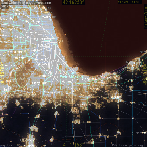
» Earth at Night: Flat Maps 2012, 2016