Flatlands night lights from space
Night Light of Flatlands (New York) from space (United States) Src. Average luminocity for 10x10km area is 93.1136% and for 50x50km: 64.1754%.
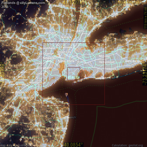
Analysis of Flatlands night lights 2016
Square area 10x10 km:
 67.37%
90-99
15.26%80-89
3.57%70-79
2.6%60-69
3.73%50-59
2.92%40-49
2.6%30-39
1.95%20-29
0%10-19
0%0-9
0%Square area 50x50 km:
38.35%90-99
13.73%80-89
3.53%70-79
3.38%60-69
3.04%50-59
2.19%40-49
1.99%30-39
2.37%20-29
4.16%10-19
5.28%0-9
21.99%Clear (daylight) street map image can be seen on geolist.org.
Map coordinates:
41° 9' 10" North, 74° 38' 16.8" West
40° 37' 16.4" North, 73° 56' 5.5" West
40° 5' 7.4" North, 73° 13' 54.3" West
Some cities around Flatlands sort by population:
• Brooklyn
3.4 km =2.1 mi,  338°
338°
• East Flatbush
3.6 km =2.2 mi,  5°
5°
• Sheepshead Bay
3.4 km =2.1 mi,  193°
193°
• Gravesend
3.7 km =2.3 mi,  224°
224°
• Flatbush
4 km =2.5 mi,  329°
329°
• Canarsie
3.8 km =2.4 mi,  49°
49°
• Kensington
4.1 km =2.5 mi,  312°
312°
• Bergen Beach
2.4 km =1.5 mi,  92°
92°
5117388 (p: 63,601)
Sources (retrieved 2019-11-25):
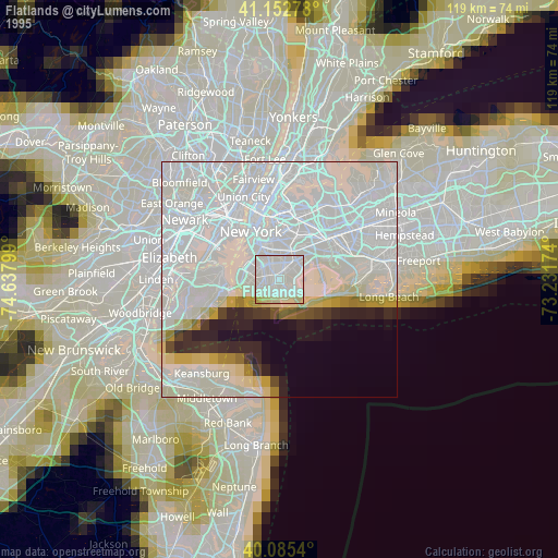
» NASA, Earths city lights 1995
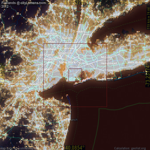
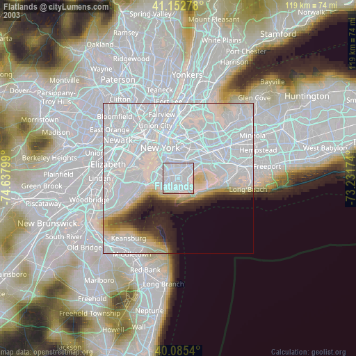
» NASA city lights 2003
» Earth at Night: Flat Maps 2012, 2016