East Flatbush night lights from space
Night Light of East Flatbush (New York) from space (United States) Src. Average luminocity for 10x10km area is 96.8734% and for 50x50km: 67.4527%.
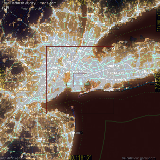
Analysis of East Flatbush night lights 2016
Square area 10x10 km:
 83.93%
90-99
9.58%80-89
0.32%70-79
0.32%60-69
1.95%50-59
1.3%40-49
2.11%30-39
0.49%20-29
0%10-19
0%0-9
0%Square area 50x50 km:
40.84%90-99
14.46%80-89
3.85%70-79
3.4%60-69
2.71%50-59
1.96%40-49
1.93%30-39
2.61%20-29
4.67%10-19
5.04%0-9
18.54%Clear (daylight) street map image can be seen on geolist.org.
Map coordinates:
41° 11' 6" North, 74° 38' 0.8" West
40° 39' 13.4" North, 73° 55' 49.5" West
40° 7' 5.3" North, 73° 13' 38.3" West
Some cities around East Flatbush sort by population:
• Brooklyn
1.7 km =1.1 mi,  256°
256°
• Flatbush
2.4 km =1.5 mi,  265°
265°
• Canarsie
2.7 km =1.7 mi,  113°
113°
• Brownsville
1.2 km =0.7 mi,  47°
47°
• Flatlands
3.6 km =2.2 mi,  185°
185°
• Cypress Hills
4.2 km =2.6 mi, 51°
• Kensington
3.5 km =2.2 mi, 256°
• Bergen Beach
4.2 km =2.6 mi,  151°
151°
5115843 (p: 178,464)
Sources (retrieved 2019-11-25):
» NASA, Earths city lights 1995
» NASA city lights 2003
» Earth at Night: Flat Maps 2012, 2016