Kensington night lights from space
Night Light of Kensington (New York) from space (United States) Src. Average luminocity for 10x10km area is 98.6218% and for 50x50km: 69.0203%.
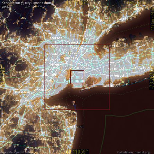
Analysis of Kensington night lights 2016
Square area 10x10 km:
 81.82%
90-99
13.96%80-89
1.3%70-79
1.46%60-69
1.3%50-59
0.16%40-49
0%30-39
0%20-29
0%10-19
0%0-9
0%Square area 50x50 km:
41.13%90-99
15.21%80-89
4.34%70-79
3.61%60-69
2.71%50-59
1.94%40-49
2.11%30-39
2.75%20-29
4.26%10-19
4.83%0-9
17.11%Clear (daylight) street map image can be seen on geolist.org.
Map coordinates:
41° 10' 39.3" North, 74° 40' 25.8" West
40° 38' 46.4" North, 73° 58' 14.5" West
40° 6' 38.1" North, 73° 16' 3.3" West
Some cities around Kensington sort by population:
• Brooklyn
1.8 km =1.1 mi,  76°
76°
• East Flatbush
3.5 km =2.2 mi, 76°
• Borough Park
2.6 km =1.6 mi,  238°
238°
• Sunset Park
3.5 km =2.2 mi,  268°
268°
• Flatbush
1.2 km =0.7 mi,  56°
56°
• Park Slope
3 km =1.9 mi,  334°
334°
• Flatlands
4.1 km =2.5 mi,  132°
132°
• Dyker Heights
4.3 km =2.7 mi,  230°
230°
5123280 (p: 39,120)
Sources (retrieved 2019-11-25):
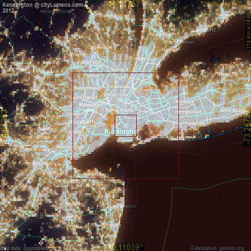
» Earth at Night: Flat Maps 2012, 2016