Flatbush night lights from space
Night Light of Flatbush (New York) from space (United States) Src. Average luminocity for 10x10km area is 99.776% and for 50x50km: 68.8627%.
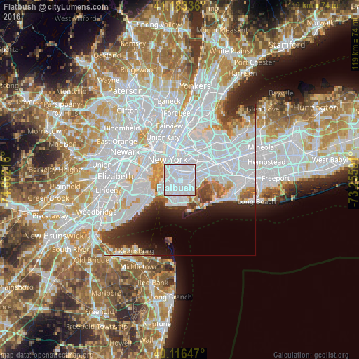
Analysis of Flatbush night lights 2016
Square area 10x10 km:
 87.66%
90-99
12.34%80-89
0%70-79
0%60-69
0%50-59
0%40-49
0%30-39
0%20-29
0%10-19
0%0-9
0%Square area 50x50 km:
41.43%90-99
14.95%80-89
4.26%70-79
3.5%60-69
2.61%50-59
1.9%40-49
2%30-39
2.83%20-29
4.48%10-19
4.85%0-9
17.2%Clear (daylight) street map image can be seen on geolist.org.
Map coordinates:
41° 11' 0.1" North, 74° 39' 43.8" West
40° 39' 7.4" North, 73° 57' 32.5" West
40° 6' 59.3" North, 73° 15' 21.3" West
Some cities around Flatbush sort by population:
• Brooklyn
0.8 km =0.5 mi,  105°
105°
• East Flatbush
2.4 km =1.5 mi,  85°
85°
• Borough Park
3.8 km =2.4 mi,  237°
237°
• Sunset Park
4.6 km =2.9 mi,  260°
260°
• Brownsville
3.4 km =2.1 mi,  73°
73°
• Park Slope
3 km =1.9 mi,  311°
311°
• Flatlands
4 km =2.5 mi,  149°
149°
• Kensington
1.2 km =0.7 mi, 236°
5117378 (p: 93,361)
Sources (retrieved 2019-11-25):
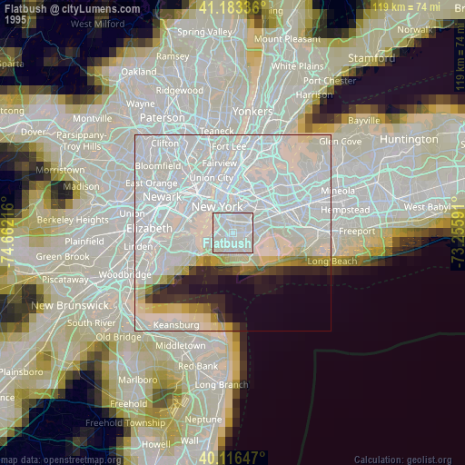
» NASA, Earths city lights 1995
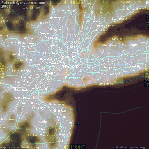
» NASA city lights 2003
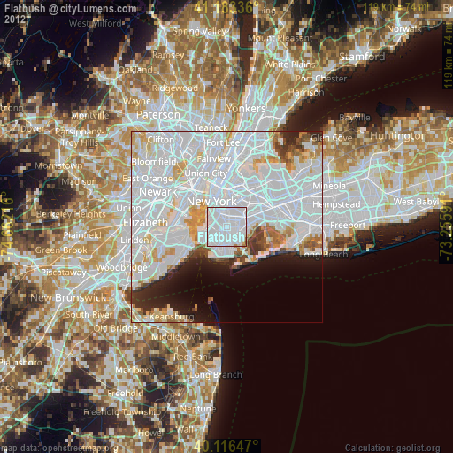
» Earth at Night: Flat Maps 2012, 2016