Canarsie night lights from space
Night Light of Canarsie (New York) from space (United States) Src. Average luminocity for 10x10km area is 87.6883% and for 50x50km: 64.9053%.
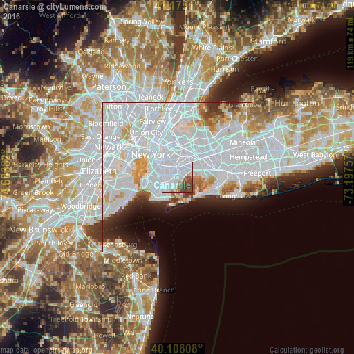
Analysis of Canarsie night lights 2016
Square area 10x10 km:
 62.01%
90-99
12.66%80-89
1.95%70-79
2.44%60-69
3.73%50-59
2.27%40-49
10.39%30-39
4.55%20-29
0%10-19
0%0-9
0%Square area 50x50 km:
39.05%90-99
13.51%80-89
3.75%70-79
3.54%60-69
3.03%50-59
2.08%40-49
1.94%30-39
2.2%20-29
4.41%10-19
5.39%0-9
21.11%Clear (daylight) street map image can be seen on geolist.org.
Map coordinates:
41° 10' 30.4" North, 74° 36' 13.8" West
40° 38' 37.4" North, 73° 54' 2.5" West
40° 6' 29.1" North, 73° 11' 51.3" West
Some cities around Canarsie sort by population:
• Brooklyn
4.2 km =2.6 mi,  279°
279°
• East Flatbush
2.7 km =1.7 mi,  293°
293°
• East New York
3 km =1.9 mi,  31°
31°
• Flatbush
5 km =3.1 mi, 280°
• Brownsville
2.5 km =1.6 mi,  319°
319°
• Flatlands
3.8 km =2.4 mi,  229°
229°
• Cypress Hills
3.8 km =2.4 mi,  12°
12°
• Bergen Beach
2.6 km =1.6 mi,  191°
191°
5111412 (p: 87,366)
Sources (retrieved 2019-11-25):
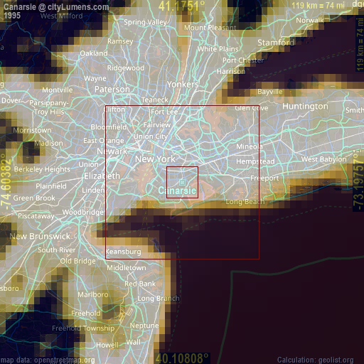
» NASA, Earths city lights 1995
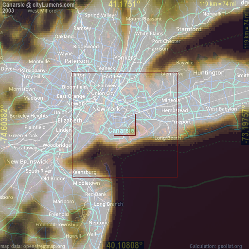
» NASA city lights 2003
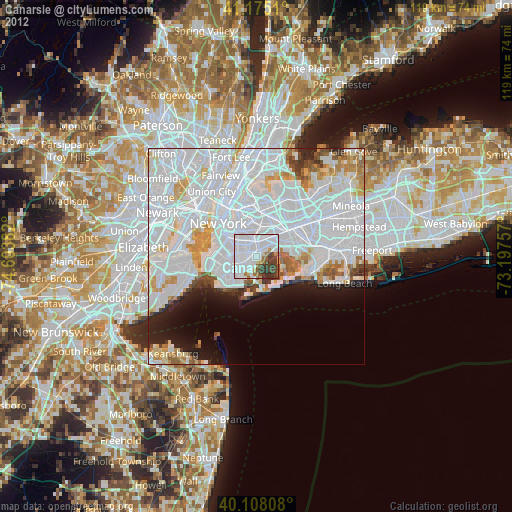
» Earth at Night: Flat Maps 2012, 2016