Sheepshead Bay night lights from space
Night Light of Sheepshead Bay (New York) from space (United States) Src. Average luminocity for 10x10km area is 77.0276% and for 50x50km: 60.6653%.
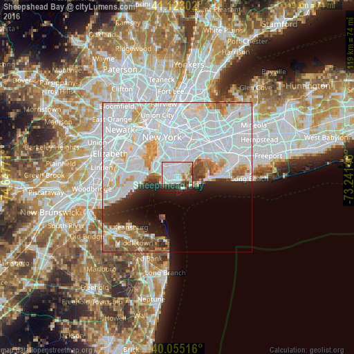
Analysis of Sheepshead Bay night lights 2016
Square area 10x10 km:
 45.62%
90-99
14.45%80-89
3.08%70-79
3.25%60-69
3.08%50-59
4.06%40-49
5.03%30-39
8.12%20-29
10.88%10-19
2.44%0-9
0%Square area 50x50 km:
35.74%90-99
12.24%80-89
3.35%70-79
3.46%60-69
3.15%50-59
3.08%40-49
2.05%30-39
2.42%20-29
4.23%10-19
5.42%0-9
24.87%Clear (daylight) street map image can be seen on geolist.org.
Map coordinates:
41° 7' 22.9" North, 74° 38' 51.8" West
40° 35' 28.4" North, 73° 56' 40.5" West
40° 3' 18.6" North, 73° 14' 29.3" West
Some cities around Sheepshead Bay sort by population:
• Gravesend
1.9 km =1.2 mi,  292°
292°
• Flatlands
3.4 km =2.1 mi,  13°
13°
• Coney Island
4.4 km =2.7 mi,  250°
250°
• Bensonhurst
4.3 km =2.7 mi, 285°
• Dyker Heights
6.4 km =4 mi,  301°
301°
• Bath Beach
5.3 km =3.3 mi, 286°
• Brighton Beach
2 km =1.2 mi,  220°
220°
• Bergen Beach
4.5 km =2.8 mi,  44°
44°
5137849 (p: 122,534)
Sources (retrieved 2019-11-25):
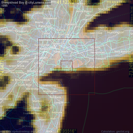
» NASA, Earths city lights 1995
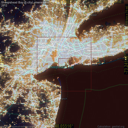
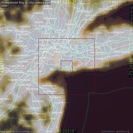
» NASA city lights 2003
» Earth at Night: Flat Maps 2012, 2016