Bergen Beach night lights from space
Night Light of Bergen Beach (New York) from space (United States) Src. Average luminocity for 10x10km area is 81.3782% and for 50x50km: 61.9031%.
Analysis of Bergen Beach night lights 2016
Square area 10x10 km:
 44.64%
90-99
15.75%80-89
5.03%70-79
2.92%60-69
6.98%50-59
4.87%40-49
10.06%30-39
9.25%20-29
0.49%10-19
0%0-9
0%Square area 50x50 km:
36.75%90-99
12.98%80-89
3.48%70-79
3.41%60-69
3.23%50-59
2.25%40-49
2.01%30-39
1.96%20-29
4.19%10-19
5.5%0-9
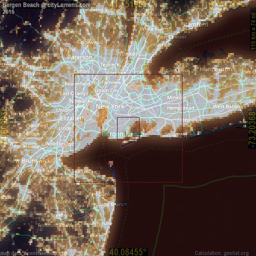
24.24%Clear (daylight) street map image can be seen on geolist.org.
Map coordinates:
41° 9' 7" North, 74° 36' 35.7" West
40° 37' 13.4" North, 73° 54' 24.5" West
40° 5' 4.4" North, 73° 12' 13.2" West
Some cities around Bergen Beach sort by population:
• Brooklyn
4.9 km =3 mi,  312°
312°
• East Flatbush
4.2 km =2.6 mi,  331°
331°
• East New York
5.6 km =3.5 mi,  21°
21°
• Sheepshead Bay
4.5 km =2.8 mi,  224°
224°
• Gravesend
5.5 km =3.4 mi,  242°
242°
• Canarsie
2.6 km =1.6 mi,  11°
11°
• Brownsville
4.6 km =2.9 mi,  345°
345°
• Flatlands
2.4 km =1.5 mi,  272°
272°
5108844 (p: 13,596)
Sources (retrieved 2019-11-25):
» Earth at Night: Flat Maps 2012, 2016