Brooklyn night lights from space
Night Light of Brooklyn (New York) from space (United States) Src. Average luminocity for 10x10km area is 99.4919% and for 50x50km: 68.4431%.
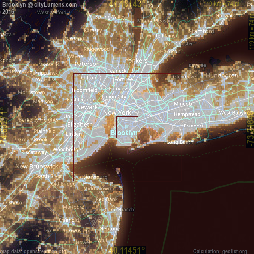
Analysis of Brooklyn night lights 2016
Square area 10x10 km:
 88.64%
90-99
10.39%80-89
0.32%70-79
0%60-69
0.32%50-59
0.32%40-49
0%30-39
0%20-29
0%10-19
0%0-9
0%Square area 50x50 km:
41.37%90-99
14.78%80-89
4.1%70-79
3.39%60-69
2.6%50-59
1.91%40-49
1.94%30-39
2.86%20-29
4.56%10-19
4.9%0-9
17.58%Clear (daylight) street map image can be seen on geolist.org.
Map coordinates:
41° 10' 53.1" North, 74° 39' 9.8" West
40° 39' 0.4" North, 73° 56' 58.5" West
40° 6' 52.2" North, 73° 14' 47.3" West
Some cities around Brooklyn sort by population:
• East Flatbush
1.7 km =1.1 mi,  76°
76°
• Borough Park
4.4 km =2.7 mi,  245°
245°
• Flatbush
0.8 km =0.5 mi,  285°
285°
• Canarsie
4.2 km =2.6 mi,  99°
99°
• Brownsville
2.8 km =1.7 mi,  64°
64°
• Park Slope
3.8 km =2.4 mi,  305°
305°
• Flatlands
3.4 km =2.1 mi,  158°
158°
• Kensington
1.8 km =1.1 mi,  256°
256°
5110302 (p: 2,300,664)
Sources (retrieved 2019-11-25):
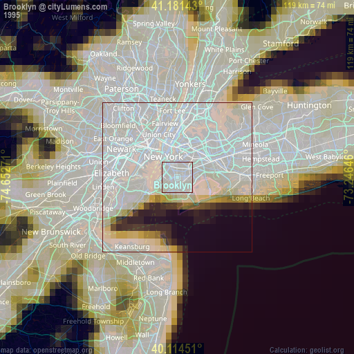
» NASA, Earths city lights 1995
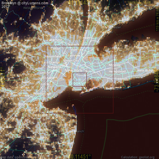
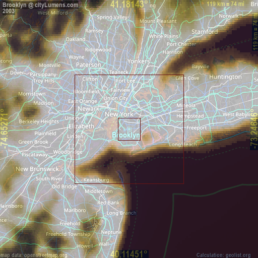
» NASA city lights 2003
» Earth at Night: Flat Maps 2012, 2016