Gravesend night lights from space
Night Light of Gravesend (New York) from space (United States) Src. Average luminocity for 10x10km area is 81.3019% and for 50x50km: 62.4058%.
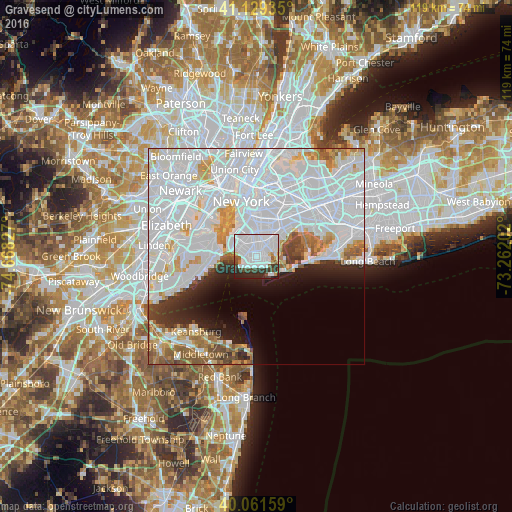
Analysis of Gravesend night lights 2016
Square area 10x10 km:
 51.95%
90-99
16.88%80-89
1.79%70-79
2.27%60-69
0.49%50-59
3.25%40-49
5.36%30-39
7.14%20-29
10.23%10-19
0.65%0-9
0%Square area 50x50 km:
36.16%90-99
13.02%80-89
3.67%70-79
3.64%60-69
3.34%50-59
3.06%40-49
2.24%30-39
2.5%20-29
4.1%10-19
5.25%0-9
23.02%Clear (daylight) street map image can be seen on geolist.org.
Map coordinates:
41° 7' 45.7" North, 74° 40' 5.8" West
40° 35' 51.4" North, 73° 57' 54.5" West
40° 3' 41.7" North, 73° 15' 43.3" West
Some cities around Gravesend sort by population:
• Borough Park
4.8 km =3 mi,  326°
326°
• Sheepshead Bay
1.9 km =1.2 mi,  112°
112°
• Flatlands
3.7 km =2.3 mi,  44°
44°
• Coney Island
3.3 km =2.1 mi,  228°
228°
• Bensonhurst
2.5 km =1.6 mi,  280°
280°
• Dyker Heights
4.6 km =2.9 mi,  305°
305°
• Bath Beach
3.4 km =2.1 mi, 283°
• Brighton Beach
2.2 km =1.4 mi,  167°
167°
5119167 (p: 112,229)
Sources (retrieved 2019-11-25):
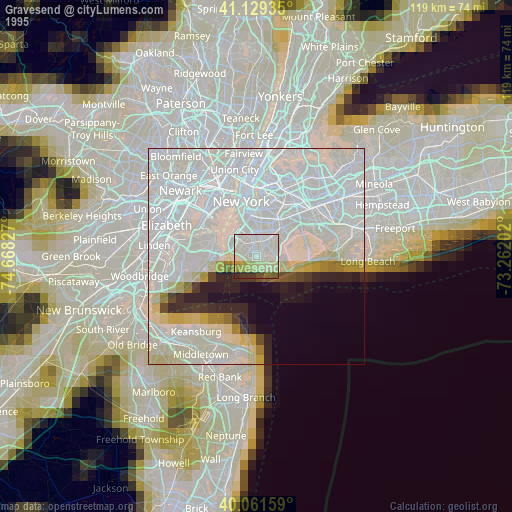
» NASA, Earths city lights 1995
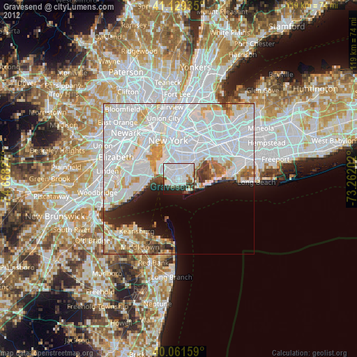
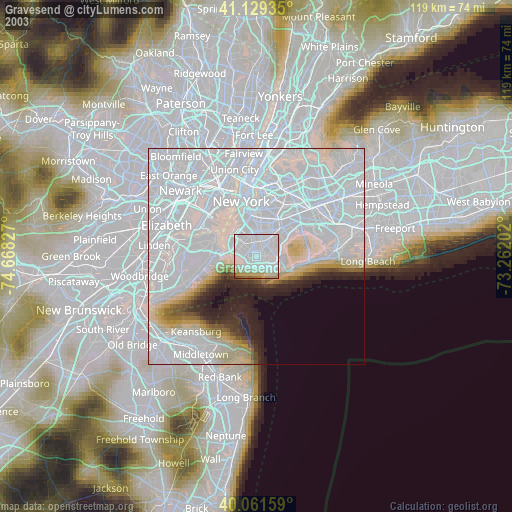
» NASA city lights 2003
» Earth at Night: Flat Maps 2012, 2016