Fairwood night lights from space
Night Light of Fairwood (Washington) from space (United States) Src. Average luminocity for 10x10km area is 64.2457% and for 50x50km: 40.6443%.
Analysis of Fairwood night lights 2016
Square area 10x10 km:
 13.92%
90-99
13.92%80-89
7.95%70-79
9.09%60-69
14.35%50-59
9.23%40-49
5.54%30-39
8.38%20-29
10.23%10-19
7.39%0-9
0%Square area 50x50 km:
12.39%90-99
9.23%80-89
3.57%70-79
4.65%60-69
5.65%50-59
4.44%40-49
4.23%30-39
4.81%20-29
5.73%10-19
7.78%0-9
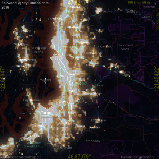
37.52%Clear (daylight) street map image can be seen on geolist.org.
Map coordinates:
47° 55' 18.4" North, 122° 51' 37.7" West
47° 26' 54.3" North, 122° 9' 26.4" West
46° 58' 14.8" North, 121° 27' 15.2" West
Some cities around Fairwood sort by population:
• Kent
9.5 km =5.9 mi,  217°
217°
• Renton
5.9 km =3.7 mi,  310°
310°
• East Hill-Meridian
4.4 km =2.7 mi,  196°
196°
• SeaTac
10.1 km =6.3 mi,  270°
270°
• Tukwila
8.3 km =5.2 mi,  290°
290°
• Bryn Mawr-Skyway
8.1 km =5 mi, 309°
• Newcastle
10.1 km =6.3 mi,  0°
0°
• East Renton Highlands
5.3 km =3.3 mi,  39°
39°
5794097 (p: 19,102)
Sources (retrieved 2019-11-25):
» Earth at Night: Flat Maps 2012, 2016