SeaTac night lights from space
Night Light of SeaTac (Washington) from space (United States) Src. Average luminocity for 10x10km area is 90.5341% and for 50x50km: 43.8867%.
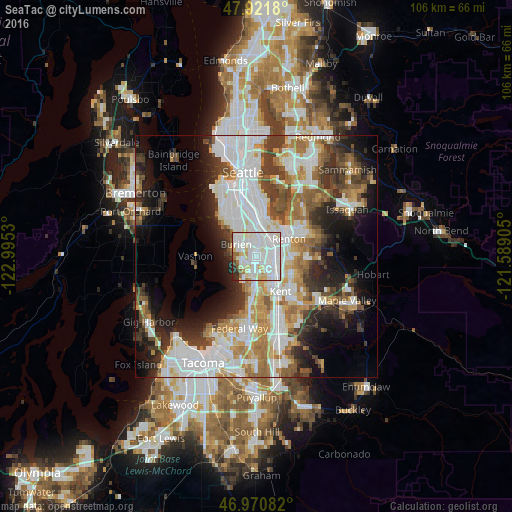
Analysis of SeaTac night lights 2016
Square area 10x10 km:
 42.9%
42.9%90-99
32.24%80-89
9.94%70-79
3.27%60-69
3.69%50-59
2.27%40-49
0.71%30-39
1.85%20-29
3.13%10-19
0%0-9
0%Square area 50x50 km:
13.04%90-99
9.88%80-89
3.83%70-79
4.94%60-69
5.8%50-59
4.76%40-49
4.8%30-39
5.61%20-29
7.17%10-19
10.35%0-9
29.82%Clear (daylight) street map image can be seen on geolist.org.
Map coordinates:
47° 55' 18.5" North, 122° 59' 43.1" West
47° 26' 54.5" North, 122° 17' 31.8" West
46° 58' 15" North, 121° 35' 20.6" West
Some cities around SeaTac sort by population:
• Renton
6.8 km =4.2 mi,  55°
55°
• Burien
4.8 km =3 mi,  300°
300°
• Des Moines
5.7 km =3.5 mi,  204°
204°
• Tukwila
3.7 km =2.3 mi,  39°
39°
• Bryn Mawr-Skyway
6.4 km =4 mi, 37°
• Normandy Park
3.9 km =2.4 mi,  249°
249°
• Riverton
4 km =2.5 mi,  357°
357°
• Boulevard Park
4.9 km =3 mi,  339°
339°
5809805 (p: 28,215)
Sources (retrieved 2019-11-25):
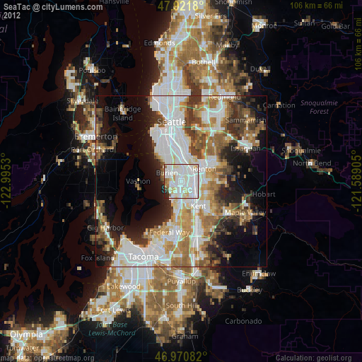
» Earth at Night: Flat Maps 2012, 2016