Tukwila night lights from space
Night Light of Tukwila (Washington) from space (United States) Src. Average luminocity for 10x10km area is 95.5994% and for 50x50km: 42.2688%.
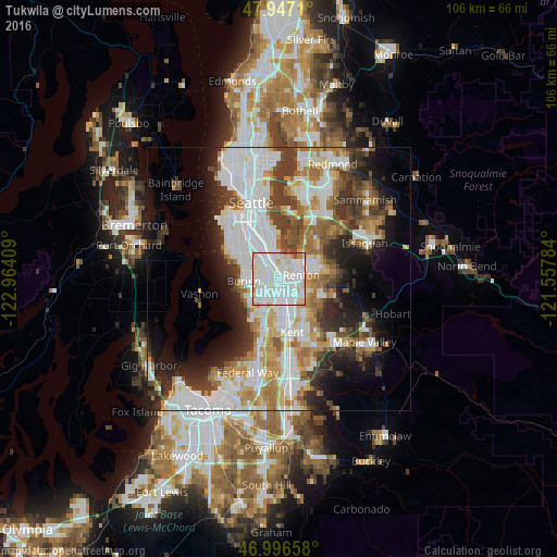
Analysis of Tukwila night lights 2016
Square area 10x10 km:
 49.43%
90-99
34.66%80-89
9.38%70-79
3.69%60-69
1.42%50-59
0.28%40-49
1.14%30-39
0%20-29
0%10-19
0%0-9
0%Square area 50x50 km:
12.7%90-99
9.83%80-89
3.77%70-79
4.75%60-69
5.44%50-59
4.21%40-49
4.45%30-39
5.53%20-29
6.53%10-19
9.32%0-9
33.48%Clear (daylight) street map image can be seen on geolist.org.
Map coordinates:
47° 56' 49.6" North, 122° 57' 50.7" West
47° 28' 26.4" North, 122° 15' 39.5" West
46° 59' 47.7" North, 121° 33' 28.2" West
Some cities around Tukwila sort by population:
• Renton
3.4 km =2.1 mi,  73°
73°
• Burien
6.5 km =4 mi,  266°
266°
• SeaTac
3.7 km =2.3 mi,  219°
219°
• Fairwood
8.3 km =5.2 mi,  110°
110°
• Bryn Mawr-Skyway
2.7 km =1.7 mi,  33°
33°
• Normandy Park
7.3 km =4.5 mi,  234°
234°
• Riverton
2.8 km =1.7 mi,  294°
294°
• Boulevard Park
4.4 km =2.7 mi, 292°
5814043 (p: 20,018)
Sources (retrieved 2019-11-25):
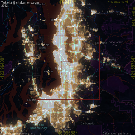
» Earth at Night: Flat Maps 2012, 2016