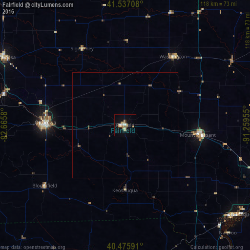
Fairfield night lights from space
Night Light of Fairfield (Iowa) from space (United States) Src. Average luminocity for 10x10km area is 17.682% and for 50x50km: 0.9421%.
Analysis of Fairfield night lights 2016
Square area 10x10 km:
 1.7%
1.7%90-99
2.04%80-89
4.25%70-79
2.38%60-69
3.4%50-59
2.55%40-49
1.19%30-39
0.17%20-29
0%10-19
7.31%0-9
75%Square area 50x50 km:
0.06%90-99
0.08%80-89
0.18%70-79
0.09%60-69
0.2%50-59
0.22%40-49
0.16%30-39
0.05%20-29
0.05%10-19
0.27%0-9
98.63%Clear (daylight) street map image can be seen on geolist.org.
Map coordinates:
41° 32' 13.5" North, 92° 39' 56.9" West
41° 0' 31.1" North, 91° 57' 45.6" West
40° 28' 33.3" North, 91° 15' 34.4" West
Some cities around Fairfield sort by population:
• Iowa City
81 km =50.3 mi,  26°
26°
• Burlington
74.8 km =46.5 mi,  107°
107°
• Ottumwa
37.7 km =23.4 mi,  271°
271°
• Coralville
80.8 km =50.2 mi,  23°
23°
• Oskaloosa
65.4 km =40.6 mi,  299°
299°
• Fort Madison
68.9 km =42.8 mi,  127°
127°
• Mount Pleasant
34.3 km =21.3 mi,  98°
98°
• Washington
39.4 km =24.5 mi, 34°
4855967 (p: 9,892)
Sources (retrieved 2019-11-25):
» Earth at Night: Flat Maps 2012, 2016