Oskaloosa night lights from space
Night Light of Oskaloosa (Iowa) from space (United States) Src. Average luminocity for 10x10km area is 23.1705% and for 50x50km: 2.8097%.
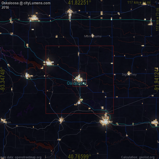
Analysis of Oskaloosa night lights 2016
Square area 10x10 km:
 2.44%
2.44%90-99
4.06%80-89
4.55%70-79
3.08%60-69
2.44%50-59
1.3%40-49
3.08%30-39
3.73%20-29
1.3%10-19
20.45%0-9
53.57%Square area 50x50 km:
0.32%90-99
0.42%80-89
0.44%70-79
0.37%60-69
0.24%50-59
0.23%40-49
0.33%30-39
0.29%20-29
0.42%10-19
2.08%0-9
94.85%Clear (daylight) street map image can be seen on geolist.org.
Map coordinates:
41° 49' 21" North, 93° 20' 51" West
41° 17' 47" North, 92° 38' 39.7" West
40° 45' 57.6" North, 91° 56' 28.5" West
Some cities around Oskaloosa sort by population:
• Ottumwa
36.4 km =22.6 mi,  147°
147°
• Indianola
76.5 km =47.5 mi,  275°
275°
• Newton
56 km =34.8 mi,  323°
323°
• Pella
25.9 km =16.1 mi,  298°
298°
• Fairfield
65.4 km =40.6 mi,  119°
119°
• Grinnell
50.1 km =31.1 mi,  352°
352°
• Knoxville
38.9 km =24.2 mi,  274°
274°
• Centerville
65.4 km =40.6 mi,  197°
197°
4870239 (p: 11,607)
Sources (retrieved 2019-11-25):
» Earth at Night: Flat Maps 2012, 2016