Coralville night lights from space
Night Light of Coralville (Iowa) from space (United States) Src. Average luminocity for 10x10km area is 62.2825% and for 50x50km: 7.6298%.
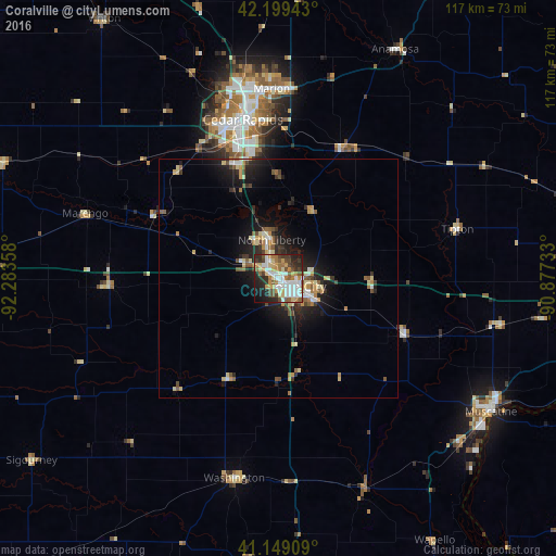
Analysis of Coralville night lights 2016
Square area 10x10 km:
 15.91%
90-99
12.82%80-89
9.25%70-79
8.44%60-69
8.12%50-59
7.14%40-49
8.77%30-39
6.82%20-29
13.64%10-19
7.95%0-9
1.14%Square area 50x50 km:
0.91%90-99
0.96%80-89
1.31%70-79
0.95%60-69
0.92%50-59
1.09%40-49
1.04%30-39
1%20-29
2.33%10-19
5.24%0-9
84.25%Clear (daylight) street map image can be seen on geolist.org.
Map coordinates:
42° 11' 57.9" North, 92° 17' 0.9" West
41° 40' 35" North, 91° 34' 49.6" West
41° 8' 56.7" North, 90° 52' 38.4" West
Some cities around Coralville sort by population:
• Cedar Rapids
37.3 km =23.2 mi,  351°
351°
• Iowa City
4.5 km =2.8 mi,  112°
112°
• Marion
39.8 km =24.7 mi,  357°
357°
• Muscatine
52.8 km =32.8 mi,  122°
122°
• North Liberty
8.2 km =5.1 mi, 349°
• Washington
43 km =26.7 mi,  192°
192°
• Hiawatha
40.8 km =25.4 mi, 348°
• Anamosa
53.9 km =33.5 mi,  26°
26°
4852640 (p: 20,608)
Sources (retrieved 2019-11-25):
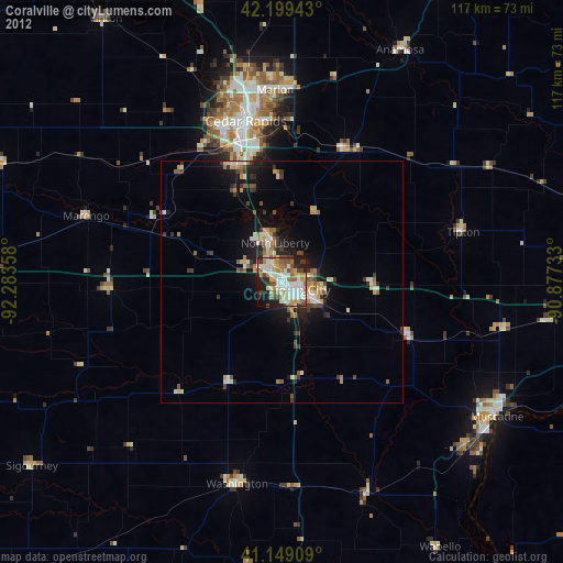
» Earth at Night: Flat Maps 2012, 2016