Fort Madison night lights from space
Night Light of Fort Madison (Iowa) from space (United States) Src. Average luminocity for 10x10km area is 18.5877% and for 50x50km: 5.2985%.
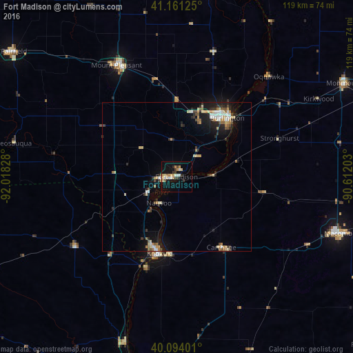
Analysis of Fort Madison night lights 2016
Square area 10x10 km:
 1.62%
1.62%90-99
2.92%80-89
3.41%70-79
3.57%60-69
1.46%50-59
1.3%40-49
1.14%30-39
3.25%20-29
1.46%10-19
17.86%0-9
62.01%Square area 50x50 km:
0.59%90-99
0.69%80-89
0.88%70-79
0.63%60-69
0.68%50-59
0.53%40-49
0.53%30-39
0.79%20-29
1.13%10-19
4.17%0-9
89.36%Clear (daylight) street map image can be seen on geolist.org.
Map coordinates:
41° 9' 40.5" North, 92° 1' 5.8" West
40° 37' 47.1" North, 91° 18' 54.5" West
40° 5' 38.4" North, 90° 36' 43.3" West
Some cities around Fort Madison sort by population:
• Quincy
77.6 km =48.2 mi,  185°
185°
• Burlington
26.1 km =16.2 mi,  40°
40°
• Macomb
57.6 km =35.8 mi,  109°
109°
• Keokuk
26.5 km =16.5 mi, 192°
• Fairfield
68.9 km =42.8 mi,  307°
307°
• Monmouth
64.4 km =40 mi,  60°
60°
• Mount Pleasant
42.4 km =26.3 mi,  331°
331°
• Washington
80.9 km =50.3 mi,  336°
336°
4857507 (p: 10,717)
Sources (retrieved 2019-11-25):
» Earth at Night: Flat Maps 2012, 2016