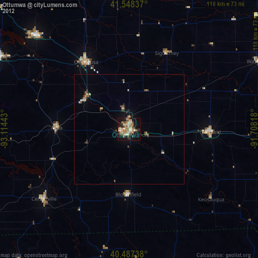
Ottumwa night lights from space
Night Light of Ottumwa (Iowa) from space (United States) Src. Average luminocity for 10x10km area is 39.7789% and for 50x50km: 2.7012%.
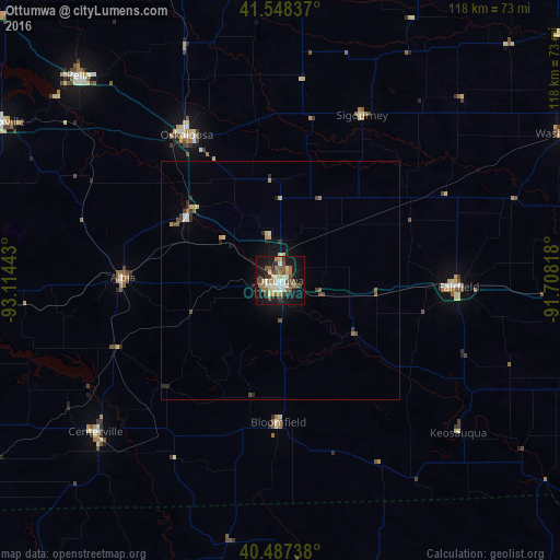
Analysis of Ottumwa night lights 2016
Square area 10x10 km:
 4.76%
4.76%90-99
7.99%80-89
4.08%70-79
5.1%60-69
6.97%50-59
8.16%40-49
6.46%30-39
4.08%20-29
5.27%10-19
36.56%0-9
10.54%Square area 50x50 km:
0.24%90-99
0.38%80-89
0.32%70-79
0.34%60-69
0.34%50-59
0.44%40-49
0.5%30-39
0.27%20-29
0.54%10-19
2.15%0-9
94.49%Clear (daylight) street map image can be seen on geolist.org.
Map coordinates:
41° 32' 54.1" North, 93° 6' 51.9" West
41° 1' 12" North, 92° 24' 40.7" West
40° 29' 14.6" North, 91° 42' 29.4" West
Some cities around Ottumwa sort by population:
• Oskaloosa
36.4 km =22.6 mi,  327°
327°
• Pella
60.4 km =37.5 mi,  315°
315°
• Fairfield
37.7 km =23.4 mi,  91°
91°
• Grinnell
84.5 km =52.5 mi,  342°
342°
• Mount Pleasant
71.9 km =44.7 mi,  95°
95°
• Washington
67.7 km =42.1 mi,  62°
62°
• Knoxville
67.3 km =41.8 mi,  299°
299°
• Centerville
50.2 km =31.2 mi,  230°
230°
4870380 (p: 24,624)
Sources (retrieved 2019-11-25):
» Earth at Night: Flat Maps 2012, 2016