El Monte night lights from space
Night Light of El Monte (California) from space (United States) Src. Average luminocity for 10x10km area is 94.6906% and for 50x50km: 70.786%.
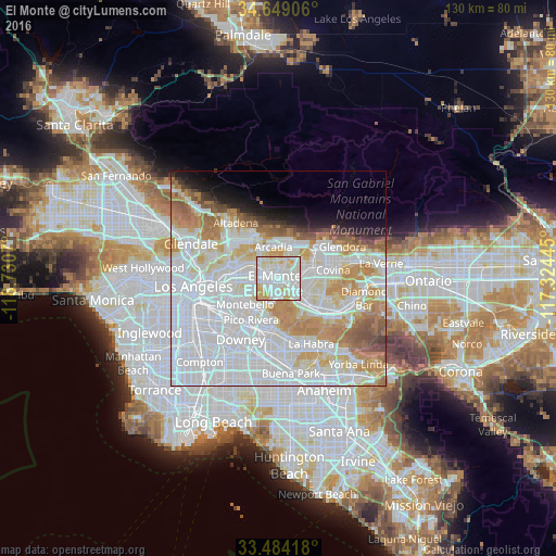
Analysis of El Monte night lights 2016
Square area 10x10 km:
 40.21%
90-99
36.71%80-89
15.21%70-79
7.52%60-69
0.35%50-59
0%40-49
0%30-39
0%20-29
0%10-19
0%0-9
0%Square area 50x50 km:
33.01%90-99
17.98%80-89
6.18%70-79
8.31%60-69
6.76%50-59
3.5%40-49
2.02%30-39
1.32%20-29
1.89%10-19
3.91%0-9
15.12%Clear (daylight) street map image can be seen on geolist.org.
Map coordinates:
34° 38' 56.6" North, 118° 43' 50.5" West
34° 4' 7" North, 118° 1' 39.3" West
33° 29' 3" North, 117° 19' 28" West
Some cities around El Monte sort by population:
• Baldwin Park
6.4 km =4 mi,  73°
73°
• Rosemead
4.4 km =2.7 mi,  287°
287°
• Temple City
5.1 km =3.2 mi,  326°
326°
• West Puente Valley
5.8 km =3.6 mi,  109°
109°
• South El Monte
2.6 km =1.6 mi,  223°
223°
• Avocado Heights
4.9 km =3 mi,  137°
137°
• East San Gabriel
6.4 km =4 mi, 293°
• Mayflower Village
5.4 km =3.4 mi,  17°
17°
5345743 (p: 116,732)
Sources (retrieved 2019-11-25):
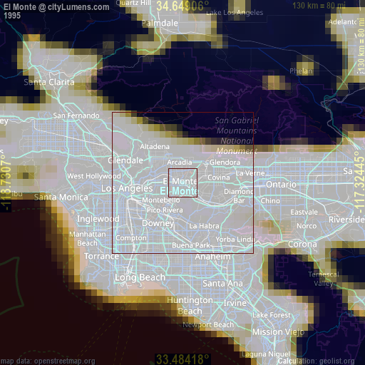
» NASA, Earths city lights 1995
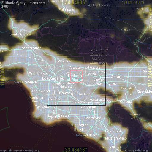
» NASA city lights 2003
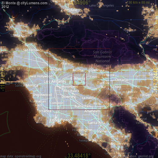
» Earth at Night: Flat Maps 2012, 2016