West Puente Valley night lights from space
Night Light of West Puente Valley (California) from space (United States) Src. Average luminocity for 10x10km area is 95.8269% and for 50x50km: 70.2206%.
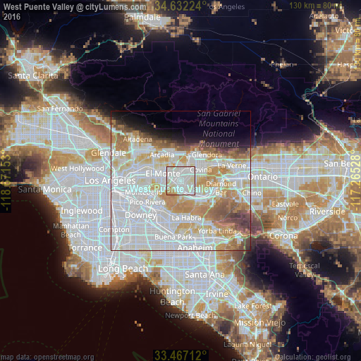
Analysis of West Puente Valley night lights 2016
Square area 10x10 km:
 43.71%
90-99
40.03%80-89
9.79%70-79
5.07%60-69
1.4%50-59
0%40-49
0%30-39
0%20-29
0%10-19
0%0-9
0%Square area 50x50 km:
29.34%90-99
19.38%80-89
6.63%70-79
8.55%60-69
7.08%50-59
3.86%40-49
3.26%30-39
1.89%20-29
1.97%10-19
3.98%0-9
14.06%Clear (daylight) street map image can be seen on geolist.org.
Map coordinates:
34° 37' 56.1" North, 118° 40' 17.5" West
34° 3' 6" North, 117° 58' 6.2" West
33° 28' 1.6" North, 117° 15' 55" West
Some cities around West Puente Valley sort by population:
• El Monte
5.8 km =3.6 mi,  289°
289°
• Baldwin Park
3.8 km =2.4 mi,  10°
10°
• Hacienda Heights
6.5 km =4 mi,  180°
180°
• La Puente
3.9 km =2.4 mi,  153°
153°
• Valinda
2.4 km =1.5 mi,  107°
107°
• South El Monte
7.2 km =4.5 mi,  270°
270°
• Vincent
6.6 km =4.1 mi,  38°
38°
• Avocado Heights
2.7 km =1.7 mi,  230°
230°
5408191 (p: 22,636)
Sources (retrieved 2019-11-25):
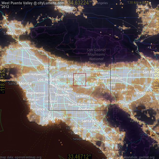
» Earth at Night: Flat Maps 2012, 2016