Avocado Heights night lights from space
Night Light of Avocado Heights (California) from space (United States) Src. Average luminocity for 10x10km area is 92.7675% and for 50x50km: 75.2234%.
Analysis of Avocado Heights night lights 2016
Square area 10x10 km:
 40.56%
90-99
32.69%80-89
7.34%70-79
14.16%60-69
5.24%50-59
0%40-49
0%30-39
0%20-29
0%10-19
0%0-9
0%Square area 50x50 km:
33.6%90-99
20.28%80-89
6.78%70-79
8.55%60-69
7.29%50-59
3.86%40-49
2.88%30-39
1.57%20-29
1.82%10-19
3.56%0-9
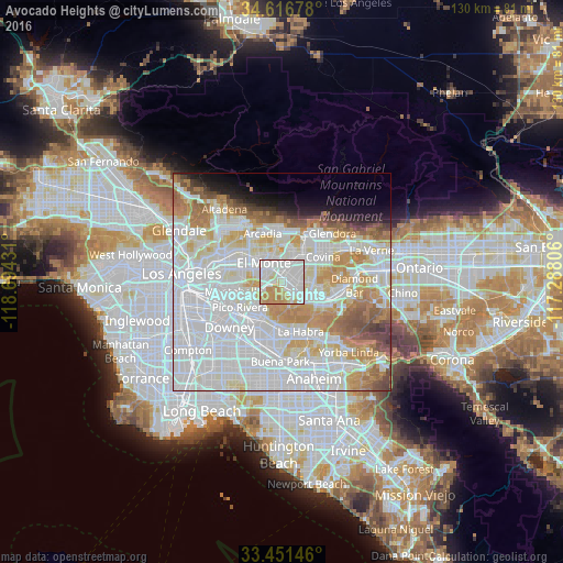
9.82%Clear (daylight) street map image can be seen on geolist.org.
Map coordinates:
34° 37' 0.4" North, 118° 41' 39.5" West
34° 2' 10" North, 117° 59' 28.2" West
33° 27' 5.3" North, 117° 17' 17" West
Some cities around Avocado Heights sort by population:
• El Monte
4.9 km =3 mi,  317°
317°
• West Covina
6 km =3.7 mi,  53°
53°
• Baldwin Park
6.1 km =3.8 mi,  27°
27°
• Hacienda Heights
5.2 km =3.2 mi,  156°
156°
• La Puente
4.2 km =2.6 mi,  115°
115°
• Valinda
4.5 km =2.8 mi,  76°
76°
• West Puente Valley
2.7 km =1.7 mi, 50°
• South El Monte
5.4 km =3.4 mi,  288°
288°
5325372 (p: 15,411)
Sources (retrieved 2019-11-25):
» Earth at Night: Flat Maps 2012, 2016