Hell's Kitchen night lights from space
Night Light of Hell's Kitchen (New York) from space (United States) Src. Average luminocity for 10x10km area is 99.5958% and for 50x50km: 86.449%.
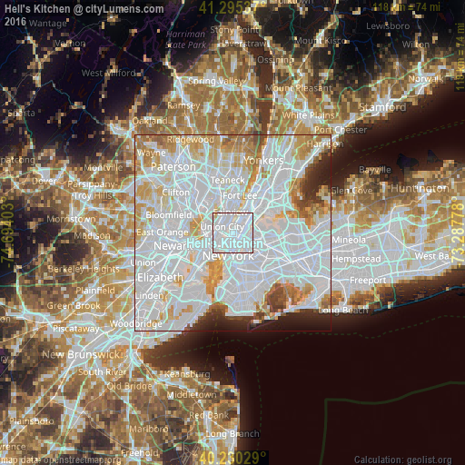
Analysis of Hell's Kitchen night lights 2016
Square area 10x10 km:
 85.23%
90-99
13.8%80-89
0.97%70-79
0%60-69
0%50-59
0%40-49
0%30-39
0%20-29
0%10-19
0%0-9
0%Square area 50x50 km:
48.03%90-99
20.97%80-89
6.49%70-79
6.98%60-69
5.16%50-59
2.33%40-49
1.96%30-39
1.89%20-29
3%10-19
2.69%0-9
0.5%Clear (daylight) street map image can be seen on geolist.org.
Map coordinates:
41° 17' 43.3" North, 74° 41' 38.5" West
40° 45' 53.9" North, 73° 59' 27.2" West
40° 13' 49" North, 73° 17' 16" West
Some cities around Hell's Kitchen sort by population:
• Manhattan
2.9 km =1.8 mi,  45°
45°
• Union City
3.2 km =2 mi,  300°
300°
• East Village
4 km =2.5 mi,  175°
175°
• West New York
3.2 km =2 mi,  322°
322°
• Gramercy Park
3.1 km =1.9 mi,  172°
172°
• Long Island City
4.2 km =2.6 mi,  122°
122°
• Weehawken
2.5 km =1.6 mi,  281°
281°
• Guttenberg
3.2 km =2 mi,  340°
340°
5120442 (p: 45,884)
Sources (retrieved 2019-11-25):
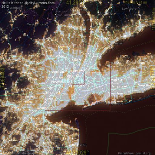
» Earth at Night: Flat Maps 2012, 2016