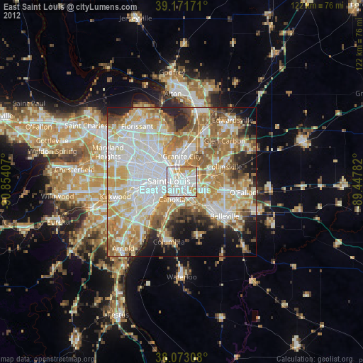
East Saint Louis night lights from space
Night Light of East Saint Louis (Illinois) from space (United States) Src. Average luminocity for 10x10km area is 94.599% and for 50x50km: 66.9222%.
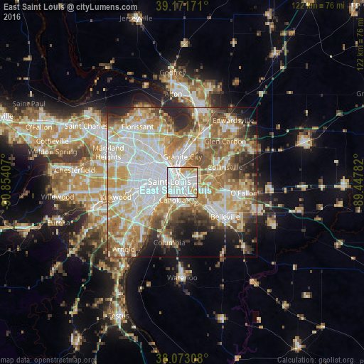
Analysis of East Saint Louis night lights 2016
Square area 10x10 km:
 43.18%
90-99
36.85%80-89
5.84%70-79
11.69%60-69
2.44%50-59
0%40-49
0%30-39
0%20-29
0%10-19
0%0-9
0%Square area 50x50 km:
17.91%90-99
15.88%80-89
9.73%70-79
10.25%60-69
9.8%50-59
8.41%40-49
5.5%30-39
4.77%20-29
6.5%10-19
6.54%0-9
4.71%Clear (daylight) street map image can be seen on geolist.org.
Map coordinates:
39° 10' 18.2" North, 90° 51' 14.7" West
38° 37' 28.2" North, 90° 9' 3.4" West
38° 4' 23.1" North, 89° 26' 52.2" West
Some cities around East Saint Louis sort by population:
• St. Louis
4.1 km =2.5 mi,  274°
274°
• University City
14.2 km =8.8 mi,  284°
284°
• Granite City
8.6 km =5.3 mi,  1°
1°
• Fairview Heights
14.5 km =9 mi,  105°
105°
• Jennings
14.2 km =8.8 mi,  317°
317°
• Cahokia
6.9 km =4.3 mi,  209°
209°
• Pontoon Beach
13.4 km =8.3 mi,  27°
27°
• Centreville
5.1 km =3.2 mi,  153°
153°
4237579 (p: 27,006)
Sources (retrieved 2019-11-25):
» Earth at Night: Flat Maps 2012, 2016