University City night lights from space
Night Light of University City (Missouri) from space (United States) Src. Average luminocity for 10x10km area is 98.513% and for 50x50km: 70.0716%.
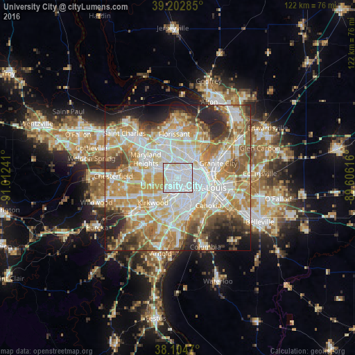
Analysis of University City night lights 2016
Square area 10x10 km:
 72.24%
90-99
21.27%80-89
5.84%70-79
0.65%60-69
0%50-59
0%40-49
0%30-39
0%20-29
0%10-19
0%0-9
0%Square area 50x50 km:
19.36%90-99
16.55%80-89
9.6%70-79
12.78%60-69
10.17%50-59
7.21%40-49
4.89%30-39
5.09%20-29
7.02%10-19
5.3%0-9
2.03%Clear (daylight) street map image can be seen on geolist.org.
Map coordinates:
39° 12' 10.3" North, 91° 0' 44.7" West
38° 39' 21.2" North, 90° 18' 33.4" West
38° 6' 16.9" North, 89° 36' 22.2" West
Some cities around University City sort by population:
• Overland
6.8 km =4.2 mi,  317°
317°
• Clayton
1.9 km =1.2 mi,  220°
220°
• Ladue
6.2 km =3.9 mi,  263°
263°
• Richmond Heights
3.2 km =2 mi,  196°
196°
• Brentwood
5.5 km =3.4 mi, 219°
• Maplewood
5 km =3.1 mi, 195°
• Olivette
5.9 km =3.7 mi,  280°
280°
• Saint Johns
7 km =4.3 mi,  335°
335°
4412697 (p: 35,058)
Sources (retrieved 2019-11-25):
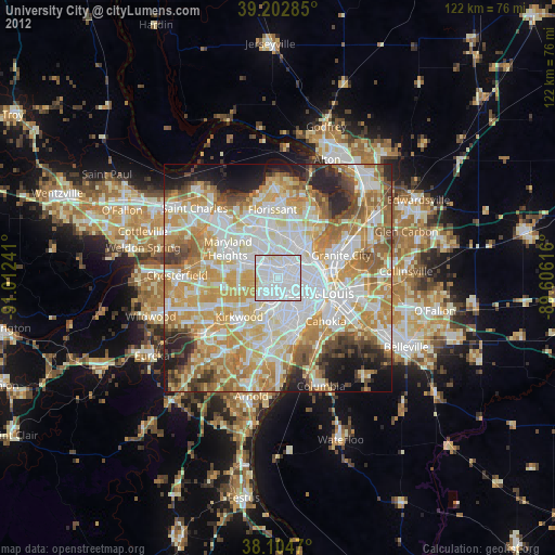
» Earth at Night: Flat Maps 2012, 2016