St. Louis night lights from space
Night Light of St. Louis (Missouri) from space (United States) Src. Average luminocity for 10x10km area is 97.974% and for 50x50km: 69.9396%.
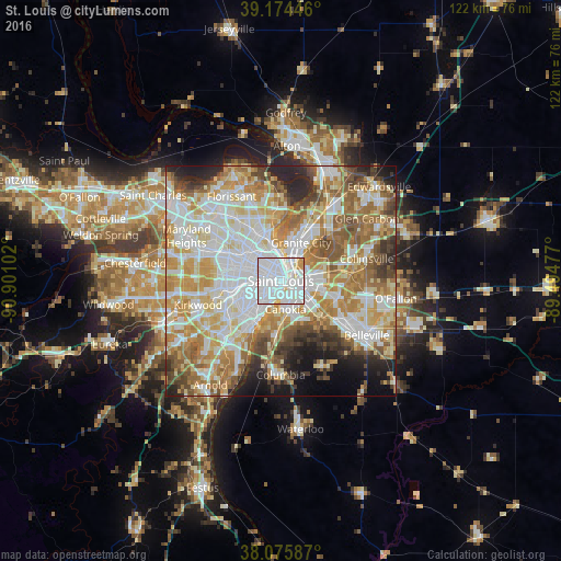
Analysis of St. Louis night lights 2016
Square area 10x10 km:
 65.42%
90-99
26.79%80-89
3.9%70-79
3.9%60-69
0%50-59
0%40-49
0%30-39
0%20-29
0%10-19
0%0-9
0%Square area 50x50 km:
19.34%90-99
16.93%80-89
9.81%70-79
11.57%60-69
10.27%50-59
8.04%40-49
5.32%30-39
4.44%20-29
5.84%10-19
5.21%0-9
3.23%Clear (daylight) street map image can be seen on geolist.org.
Map coordinates:
39° 10' 28.1" North, 90° 54' 3.7" West
38° 37' 38.2" North, 90° 11' 52.4" West
38° 4' 33.1" North, 89° 29' 41.2" West
Fantastic image of St. Louis from space taken by astronauts [src2], but I don't have information about it's orientation, scale or angle. If necessary, it was rotated manually, so North points approximately to upper direction. Click to zoom in:

Some cities around St. Louis sort by population:
• University City
10.2 km =6.3 mi,  288°
288°
• Granite City
9.3 km =5.8 mi,  27°
27°
• East Saint Louis
4.1 km =2.5 mi,  94°
94°
• Clayton
11.1 km =6.9 mi,  278°
278°
• Cahokia
6.3 km =3.9 mi,  173°
173°
• Richmond Heights
10.6 km =6.6 mi,  270°
270°
• Maplewood
11.1 km =6.9 mi,  261°
261°
• Centreville
8 km =5 mi,  127°
127°
4407066 (p: 315,685)
Sources (retrieved 2019-11-25):
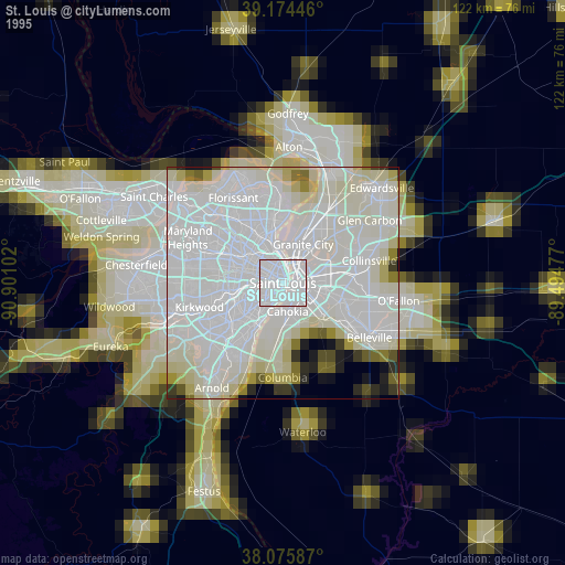
» NASA, Earths city lights 1995
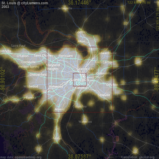
» NASA city lights 2003
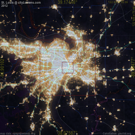
» Earth at Night: Flat Maps 2012, 2016
Src.2: Tim Kopra, Twitter/@astro_tim, 2018-05-04