Dickinson night lights from space
Night Light of Dickinson (North Dakota) from space (United States) Src. Average luminocity for 10x10km area is 44.314% and for 50x50km: 2.6372%.
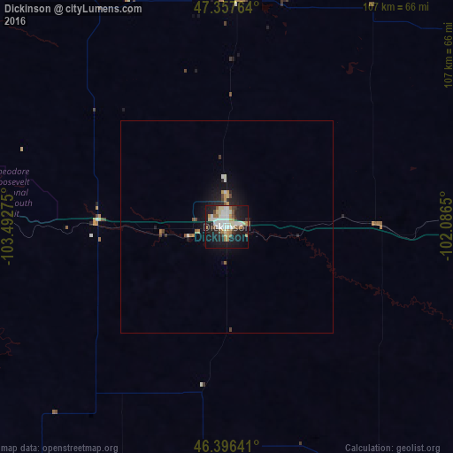
Analysis of Dickinson night lights 2016
Square area 10x10 km:
 9.82%
9.82%90-99
11.46%80-89
4.76%70-79
4.46%60-69
5.8%50-59
4.17%40-49
1.79%30-39
3.42%20-29
10.42%10-19
35.27%0-9
8.63%Square area 50x50 km:
0.42%90-99
0.52%80-89
0.21%70-79
0.34%60-69
0.3%50-59
0.26%40-49
0.24%30-39
0.17%20-29
0.8%10-19
2.47%0-9
94.26%Clear (daylight) street map image can be seen on geolist.org.
Map coordinates:
47° 21' 27.5" North, 103° 29' 33.9" West
46° 52' 45" North, 102° 47' 22.6" West
46° 23' 47.1" North, 102° 5' 11.4" West
Some cities around Dickinson sort by population:
• Bismarck
152.8 km =94.9 mi,  92°
92°
• Minot
187.6 km =116.6 mi,  36°
36°
• Williston
154.1 km =95.8 mi,  336°
336°
• Mandan
144.6 km =89.9 mi, 92°
• Sidney
138.9 km =86.3 mi,  312°
312°
• Watford City
109.2 km =67.9 mi, 340°
• Minot Air Force Base
202.9 km =126.1 mi,  32°
32°
• Glendive
148 km =92 mi,  279°
279°
5688789 (p: 23,765)
Sources (retrieved 2019-11-25):
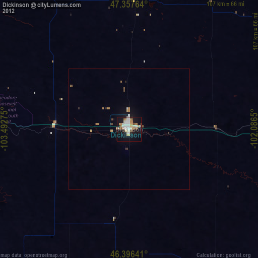
» Earth at Night: Flat Maps 2012, 2016